WxGUI Screenshots: Difference between revisions
Jump to navigation
Jump to search
mNo edit summary |
(better put screenshots here: http://grass.osgeo.org/screenshots/) |
||
| (7 intermediate revisions by one other user not shown) | |||
| Line 1: | Line 1: | ||
__TOC__ | __TOC__ | ||
See also [[wxGUI]] page. | |||
The best place for screenshots is here: http://grass.osgeo.org/screenshots/ | |||
== GNU/Linux == | |||
<center> | <center> | ||
| Line 11: | Line 16: | ||
wxgui-spatial-query.png|wxGUI: Spatial query | wxgui-spatial-query.png|wxGUI: Spatial query | ||
wxgui-nc-spm-example.png|wxGUI: Displaying data from North Carolina dataset | wxgui-nc-spm-example.png|wxGUI: Displaying data from North Carolina dataset | ||
wxgui-r-what-grass7.png|wxGUI: Query raster map (using built function or directly using r.what) | |||
</gallery> | </gallery> | ||
</center> | </center> | ||
== Mac OS == | |||
Please add some screenshots here... | Please add some screenshots here... | ||
== MS Windows == | |||
<center> | <center> | ||
Latest revision as of 12:43, 30 November 2012
See also wxGUI page.
The best place for screenshots is here: http://grass.osgeo.org/screenshots/
GNU/Linux
-
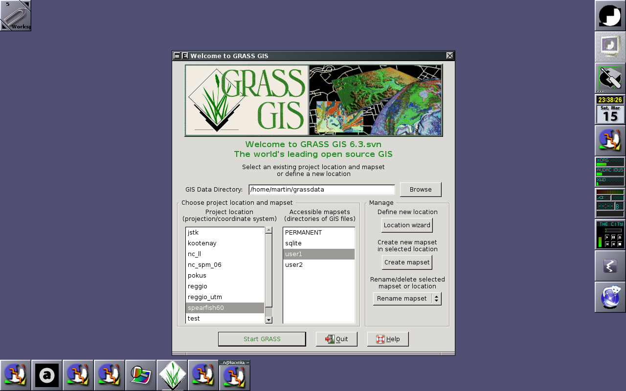
Start-up screen
-
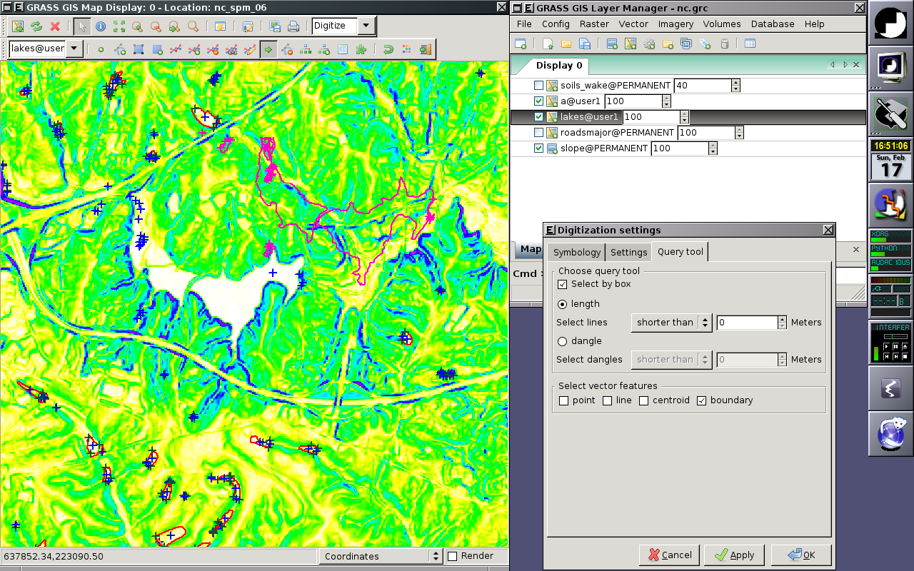
Vector digitizer
-
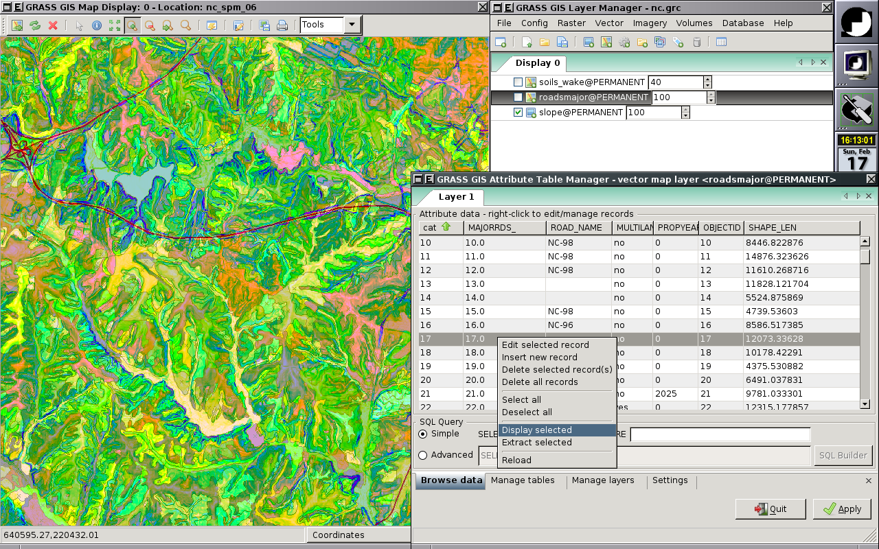
Attribute Table Manager
-
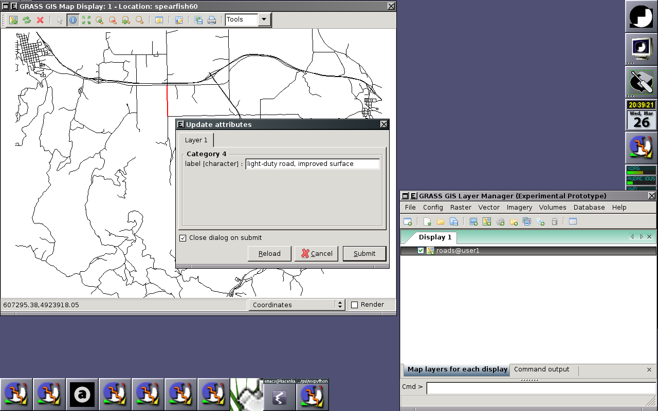
Querying vector map layers (attribute data)
-
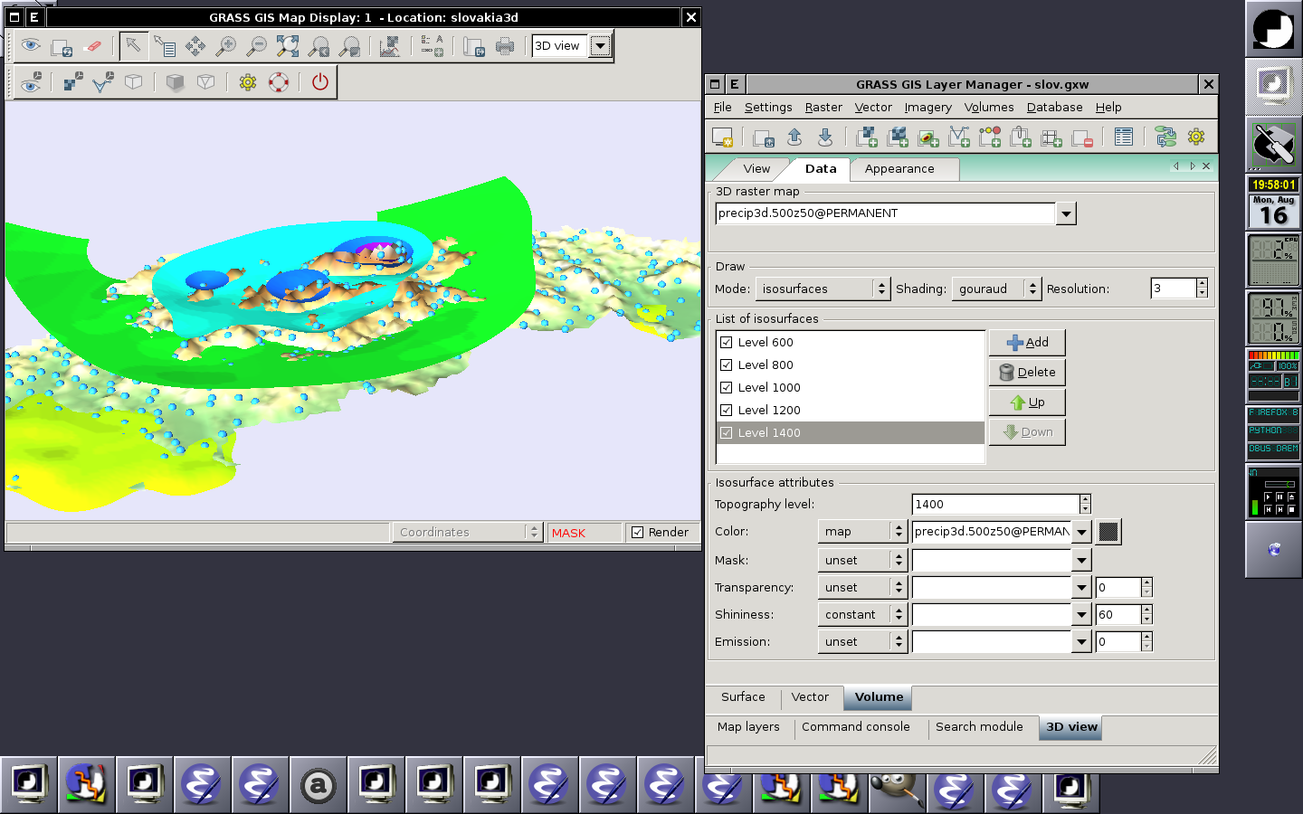
wxGUI: Displaying raster (surface), 2D vector and 3D raster (volume) in the 3D space
-
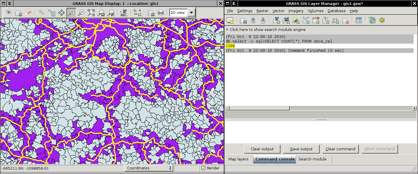
wxGUI: Spatial query
-
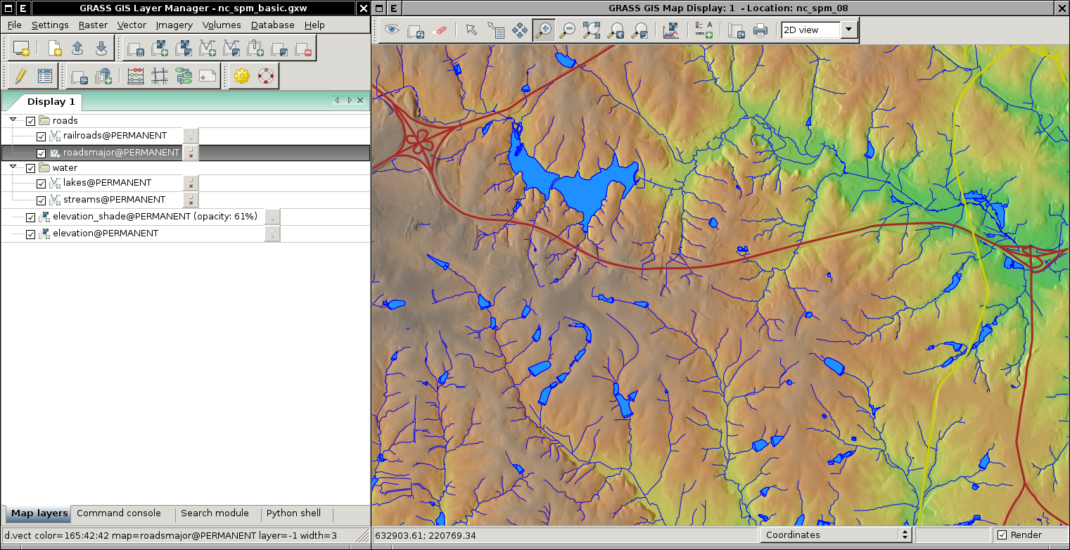
wxGUI: Displaying data from North Carolina dataset
-
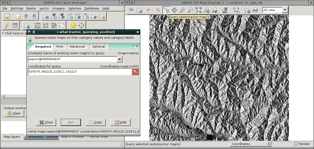
wxGUI: Query raster map (using built function or directly using r.what)
Mac OS
Please add some screenshots here...
MS Windows
-
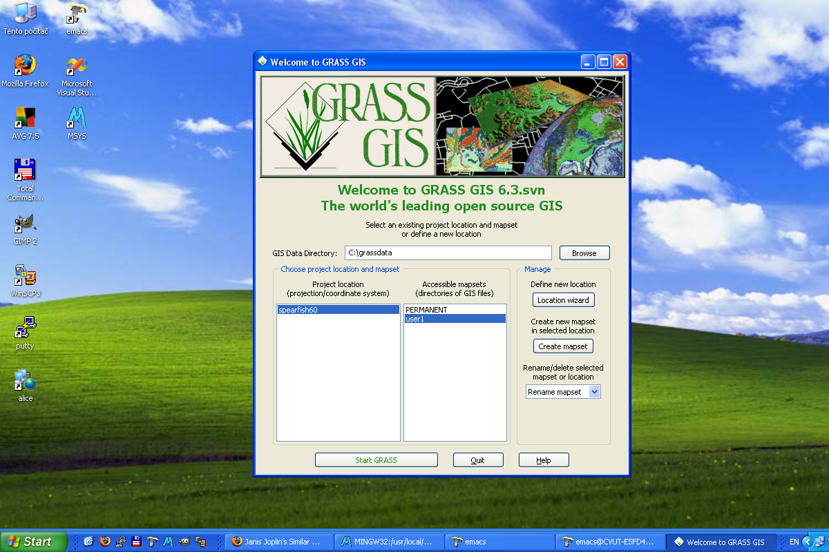
Start-up screen
-
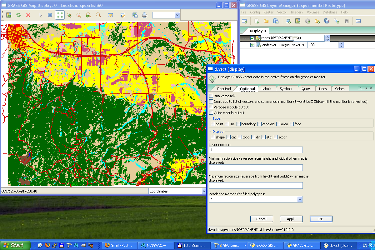
GUI dialog d.vect
-
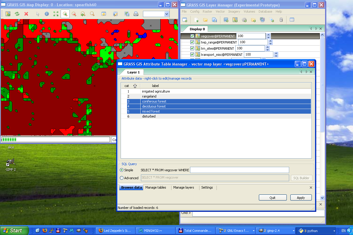
Attribute Table Manager
-
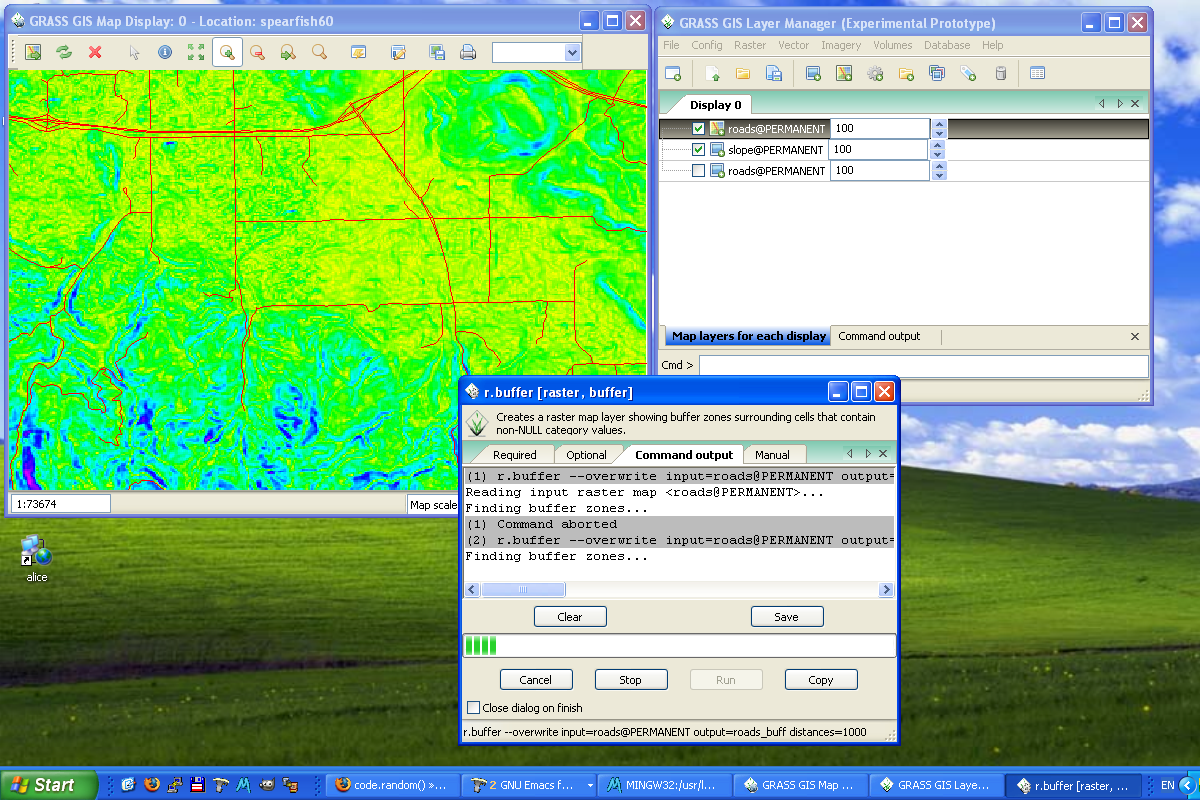
Running command (r.buffer)
-
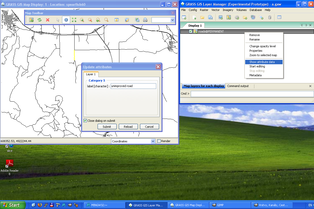
Querying vector map layer (editable mode)
