GRASS Digitizing tool: Difference between revisions
Jump to navigation
Jump to search
No edit summary |
m (show new digitizer first) |
||
| (27 intermediate revisions by 4 users not shown) | |||
| Line 1: | Line 1: | ||
__TOC__ | |||
== GUI vector digitizer == | |||
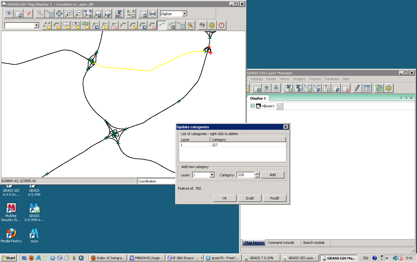
= | === New digitizer === | ||
Quick overview: | |||
* | * Editing of vector objects: | ||
* | ** Add, Break, Copy, Connect, Convert Type, Delete, Flip direction, Merge, Move, Select lines by query, Snap, Split | ||
* | * Cats: | ||
** Copy, Delete, Z-Bulk Labeling | |||
* Vertex: | |||
** Insert, Delete, Move | |||
* '''For details, see [[WxGUI#Vector_digitizer|Vector digitizer]] in [[wxGUI]]''' | |||
* | |||
[[Image:WxGUI-vdigit-win0.png|thumb|400px|center]] | |||
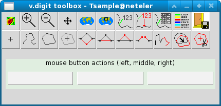
=== | === Old digitizer === | ||
* | * TCL/TK-based old fashioned [http://grass.osgeo.org/grass63/manuals/html63_user/v.digit.html v.digit] module | ||
* | * no longer maintained | ||
[[Image:V digit tcltk.png|thumb|400px|center]] | |||
== Command Line (CLI) vector digitizer == | |||
See manual page of {{cmd|v.edit}}. | |||
== Raster digitizer == | |||
The {{cmd|r.in.poly}} ASCII format is almost the same as the standard vector ASCII format. So the new digitizer should be able to output for both, and then we have a replacement for {{cmd|r.digit}} too! | |||
[[Category:Development]] | |||
[[Category:Vector]] | |||
Latest revision as of 15:33, 8 October 2012
GUI vector digitizer
New digitizer
Quick overview:
- Editing of vector objects:
- Add, Break, Copy, Connect, Convert Type, Delete, Flip direction, Merge, Move, Select lines by query, Snap, Split
- Cats:
- Copy, Delete, Z-Bulk Labeling
- Vertex:
- Insert, Delete, Move
- For details, see Vector digitizer in wxGUI

Old digitizer
- TCL/TK-based old fashioned v.digit module
- no longer maintained

Command Line (CLI) vector digitizer
See manual page of v.edit.
Raster digitizer
The r.in.poly ASCII format is almost the same as the standard vector ASCII format. So the new digitizer should be able to output for both, and then we have a replacement for r.digit too!