WxNviz: Difference between revisions
Jump to navigation
Jump to search
(→Alpha prototype: other screenshot) |
(→Done: updated) |
||
| Line 15: | Line 15: | ||
** Doxygenization, code documentation | ** Doxygenization, code documentation | ||
** Eliminate <tt>fprintf()</tt>, changed to <tt>G_*_message()</tt>, <tt>G_warning()</tt>, <tt>G_fatal_error()</tt>, and <tt>G_debug()</tt> | ** Eliminate <tt>fprintf()</tt>, changed to <tt>G_*_message()</tt>, <tt>G_warning()</tt>, <tt>G_fatal_error()</tt>, and <tt>G_debug()</tt> | ||
==== wxGUI Nviz extension ==== | |||
* Integration with Layer Manager, (un)loading when map layer is (un)/checked | |||
* Integration with Map Display, auto-rendering functional | |||
* View settings (position, height, perspective, twist, z-exag), perspective can be changed by mouse wheel | |||
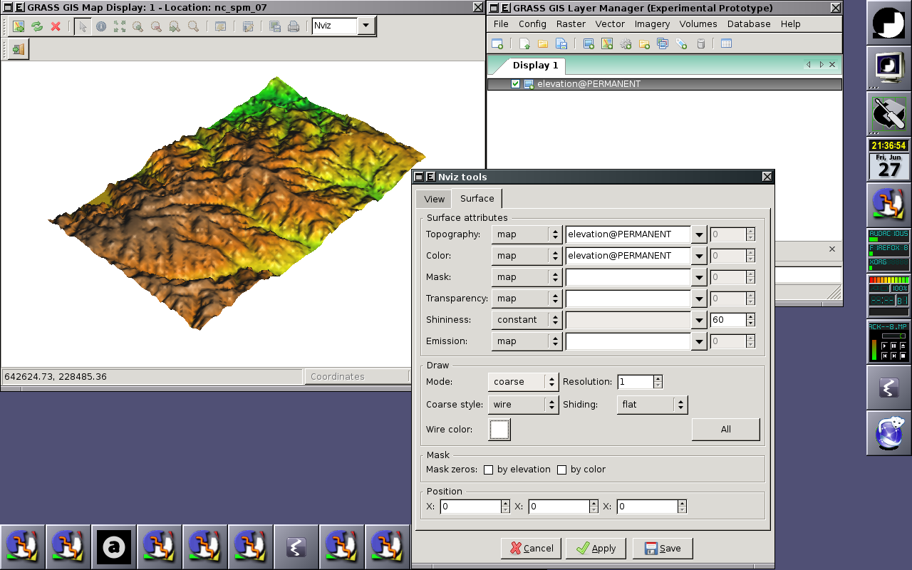
* Surface settings (attributes, draw mode) | |||
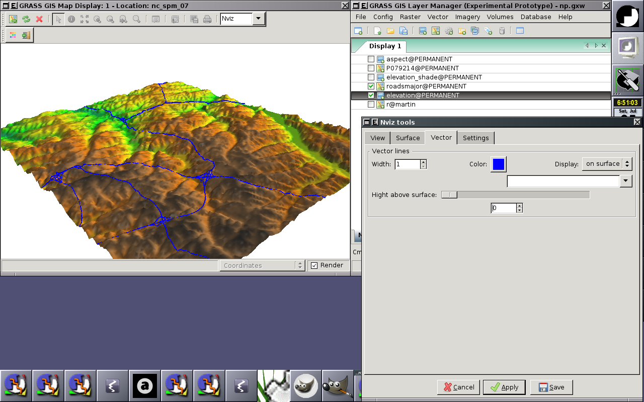
* Vector 2D lines | |||
=== In progress === | === In progress === | ||
Revision as of 05:02, 5 July 2008
Back to wxGUI page.
Accepted Google Summer of Code 2008 project
Roadmap / Progress
Done
- Initial cleaning underlying GRASS OpenGL gsurf OGSF Library
- Doxygenization, code documentation
- Eliminate fprintf(), changed to G_*_message(), G_warning(), G_fatal_error(), and G_debug()
wxGUI Nviz extension
- Integration with Layer Manager, (un)loading when map layer is (un)/checked
- Integration with Map Display, auto-rendering functional
- View settings (position, height, perspective, twist, z-exag), perspective can be changed by mouse wheel
- Surface settings (attributes, draw mode)
- Vector 2D lines
In progress
- Update OGSF Library documentation
- Experimental prototype of CLI version of NVIZ (just very simple functionality)
- Design experimental nvizlib used by CLI and wxPython NVIZ prototype
- Experimental prototype of NVIZ toolbox for wxGUI (based on NVIZ CLI functionality)
Screenshots
Alpha prototype
 |
 |