GRASS Location Wizard: Difference between revisions
Jump to navigation
Jump to search
(+screenshot) |
(rewritten) |
||
| Line 1: | Line 1: | ||
== Creating a new location in GRASS == | |||
== | |||
The location wizard enables to create a new location in a few simple steps. | |||
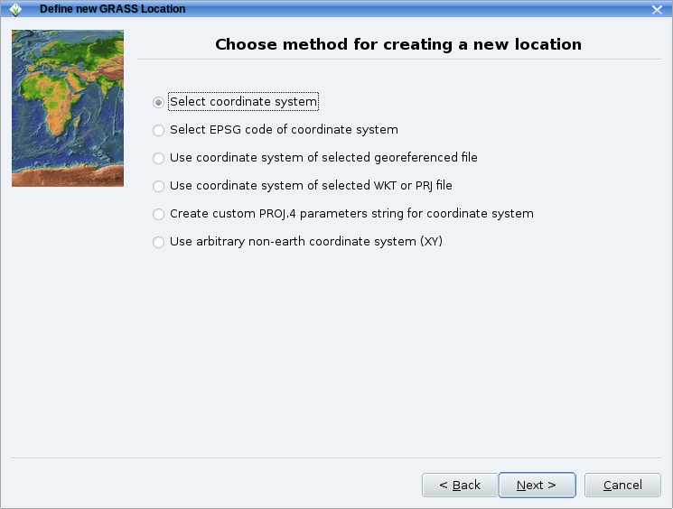
It provides a number of ways to set the map projection: from a geodata file (SHAPE, GeoTIFF etc), using an EPSG code, settting parameters manually, etc. | |||
Here an example: | |||
First screen of the Location wizard which is found in the GRASS GIS Startup window: | |||
[[Image:Grass64 location wiz1.png|500px|thumb|center|GRASS Location Wizard: user choices]] | |||
The location wizard also helps you select the appropriate geodetic | |||
datum and transform parameters for your map projection.: | |||
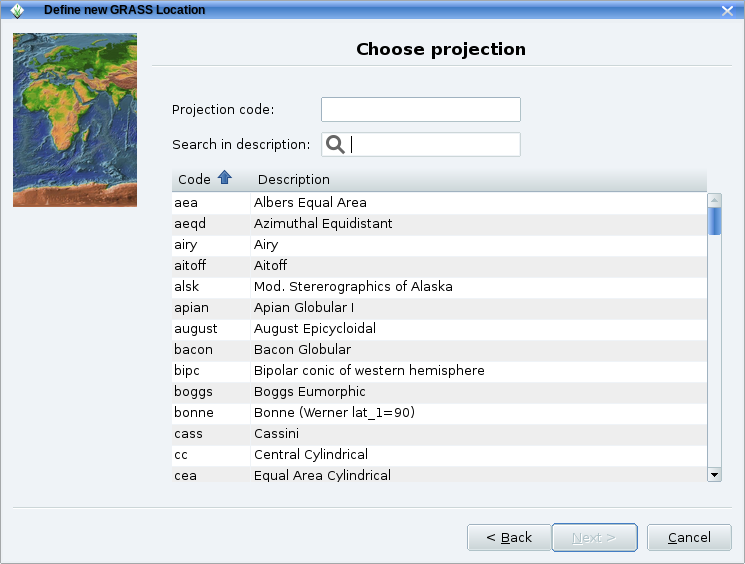
[[Image:Grass64 location wiz2.png|500px|thumb|center|GRASS Location Wizard: choosing the projection]] | |||
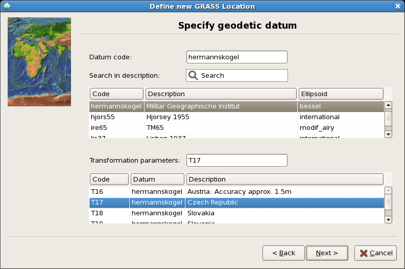
[[Image:Wxgui-location-wizard.png|500px|thumb|center|GRASS Location Wizard: choosing the geodetic datum]] | |||
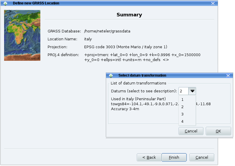
[[Image:Grass64 location wiz3.png|500px|thumb|center|GRASS Location Wizard: finishing the creation of the new location]] | |||
You are then brought back to the initial window of GRASS and enter the session with the "Start GRASS" button. | |||
[[Category: Documentation]] | |||
[[Category: FAQ]] | |||
[[Category: wxGUI]] | |||
[[ | |||
[[Category: | |||
Revision as of 10:03, 17 April 2011
Creating a new location in GRASS
The location wizard enables to create a new location in a few simple steps. It provides a number of ways to set the map projection: from a geodata file (SHAPE, GeoTIFF etc), using an EPSG code, settting parameters manually, etc.
Here an example:
First screen of the Location wizard which is found in the GRASS GIS Startup window:

The location wizard also helps you select the appropriate geodetic datum and transform parameters for your map projection.:


You are then brought back to the initial window of GRASS and enter the session with the "Start GRASS" button.