WxNviz: Difference between revisions
Jump to navigation
Jump to search
m (refer to 70) |
(→Ideas: new section for known issues) |
||
| Line 30: | Line 30: | ||
* Fog support (see [http://gpwiki.org/index.php/OpenGL:Tutorials:Tutorial_Framework:Light_and_Fog], [http://www.swiftless.com/tutorials/opengl/fog.html], [http://nehe.gamedev.net/data/lessons/lesson.asp?lesson=16]) | * Fog support (see [http://gpwiki.org/index.php/OpenGL:Tutorials:Tutorial_Framework:Light_and_Fog], [http://www.swiftless.com/tutorials/opengl/fog.html], [http://nehe.gamedev.net/data/lessons/lesson.asp?lesson=16]) | ||
* Vertical labels (take from geonames.org point data): like in http://tev.fbk.eu/marmota/blog/?p=82 | * Vertical labels (take from geonames.org point data): like in http://tev.fbk.eu/marmota/blog/?p=82 | ||
== Know issues == | |||
== Google Summer of Code == | == Google Summer of Code == | ||
Revision as of 05:58, 13 August 2010
Back to wxGUI page.
See also wxGUI.Nviz manual page.
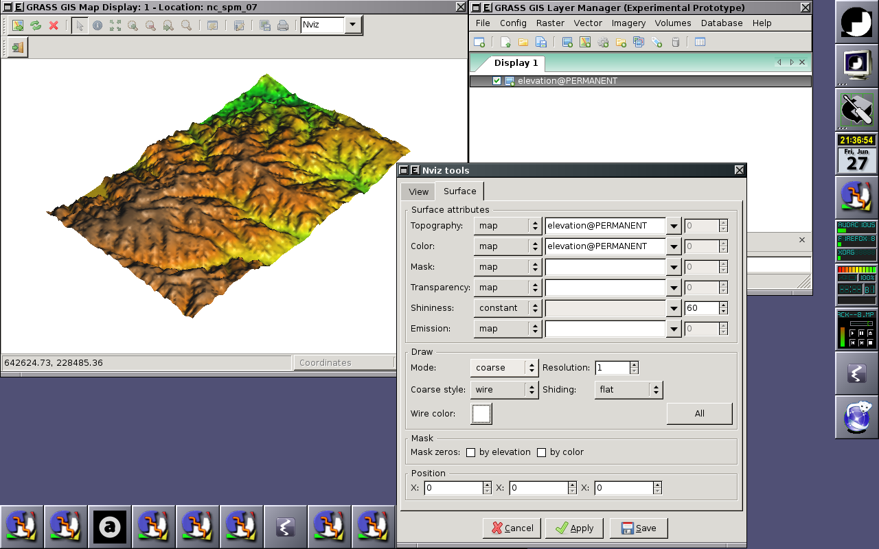
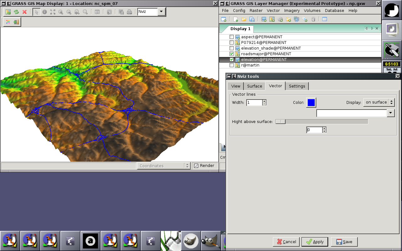
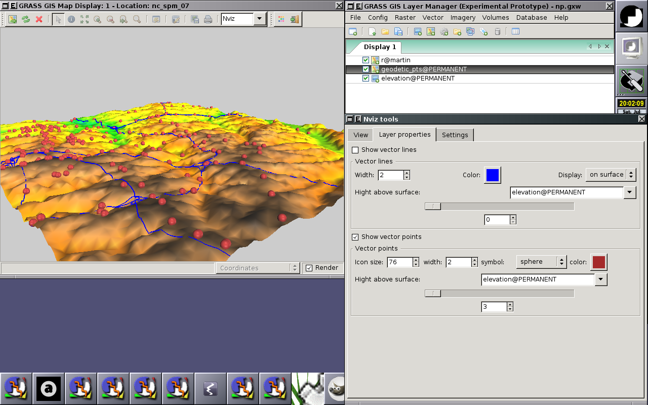
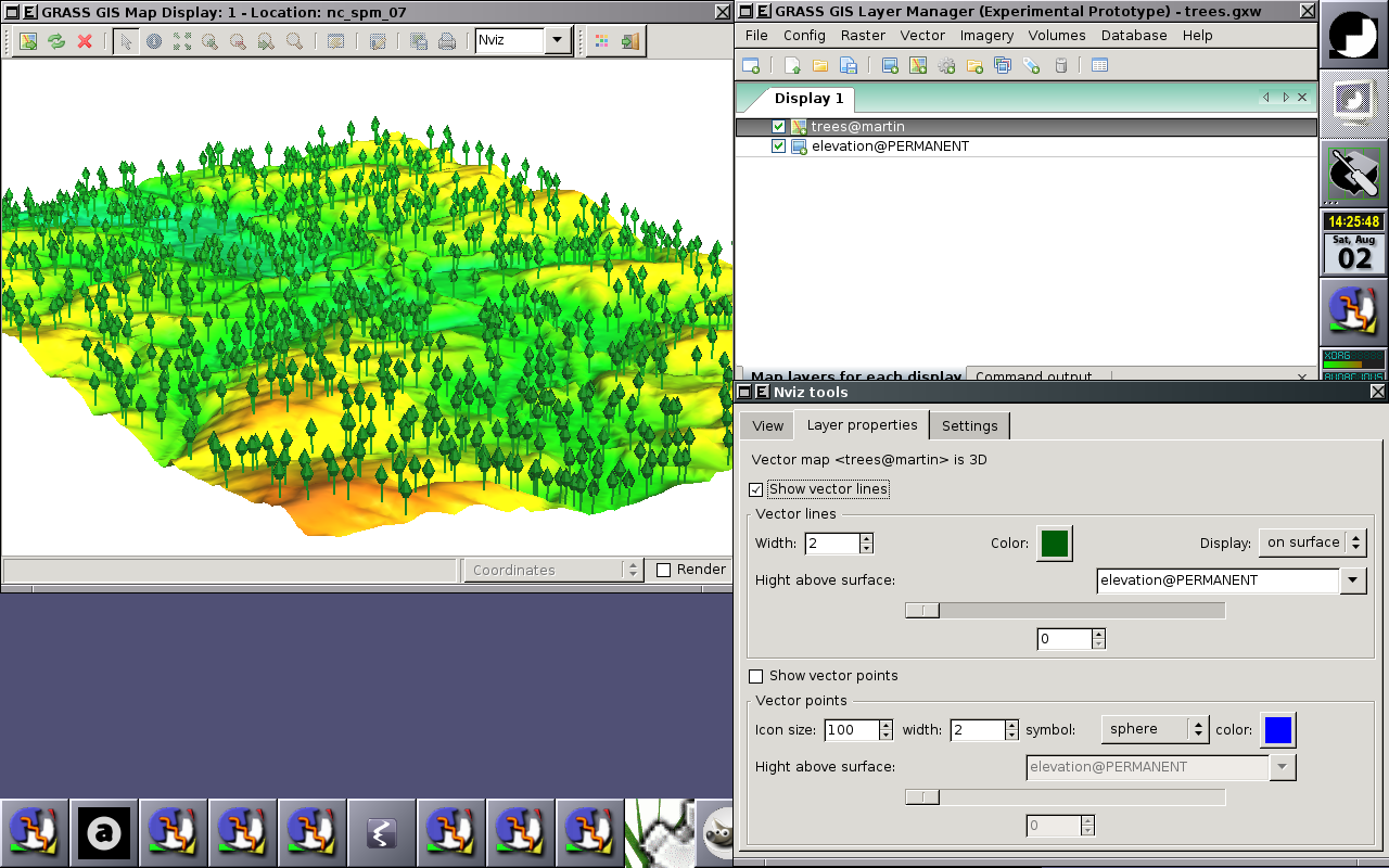
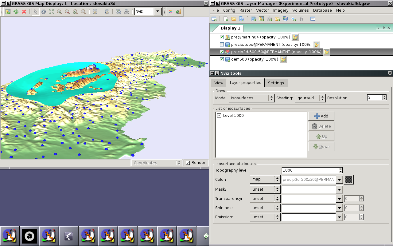
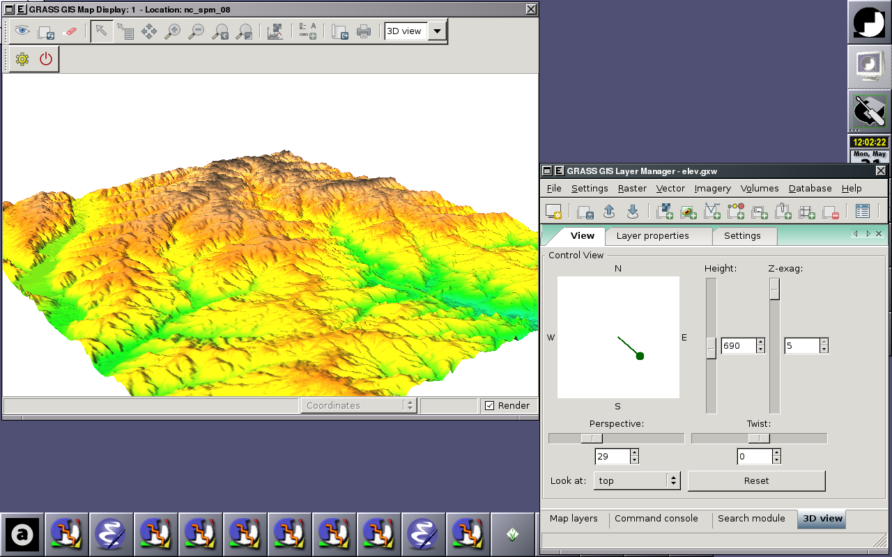
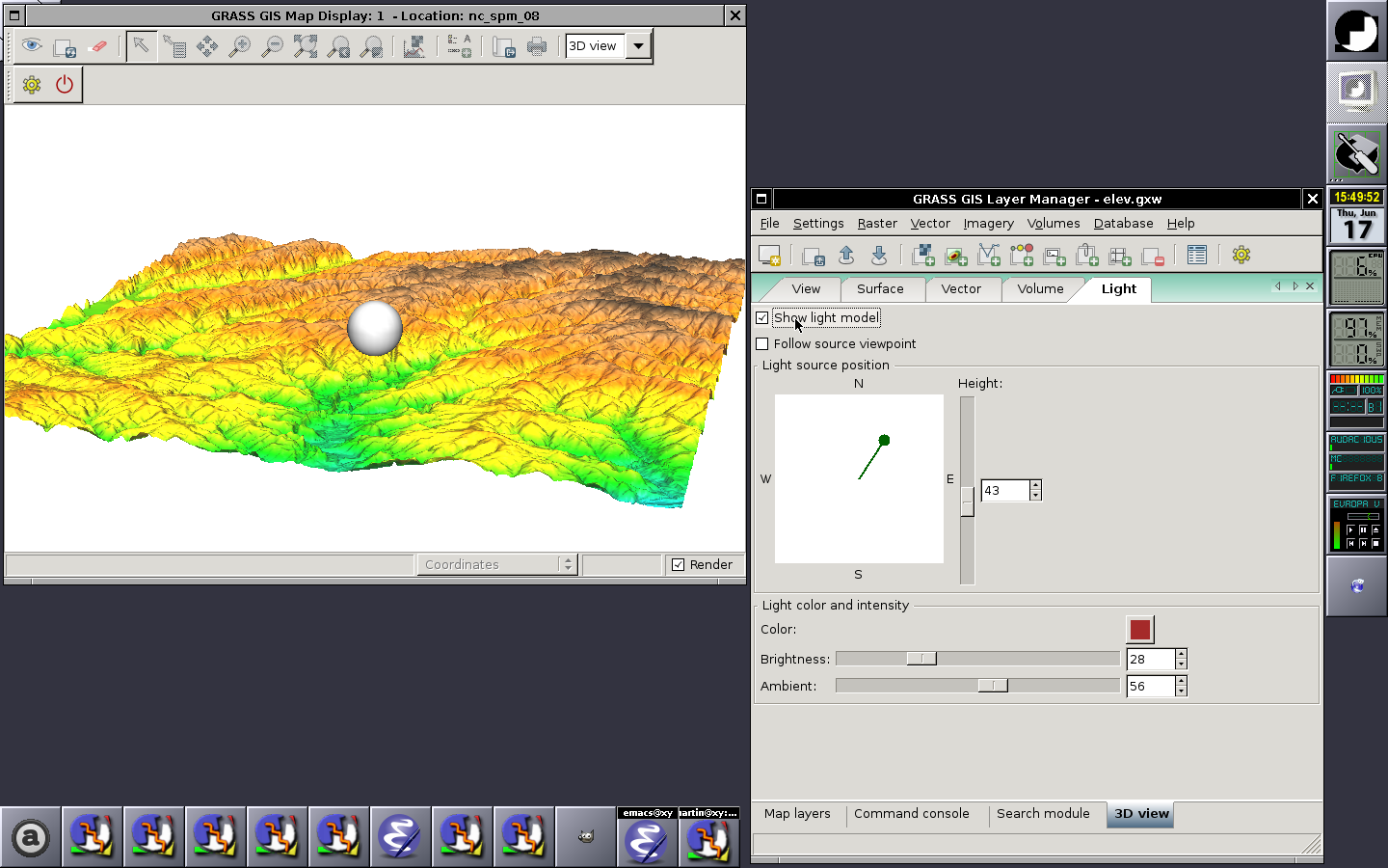
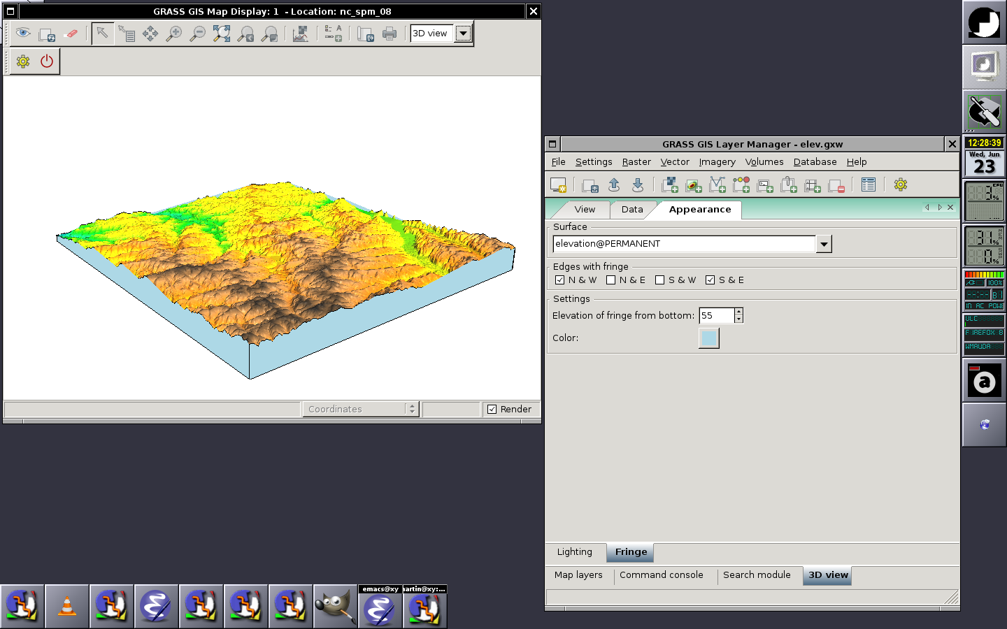
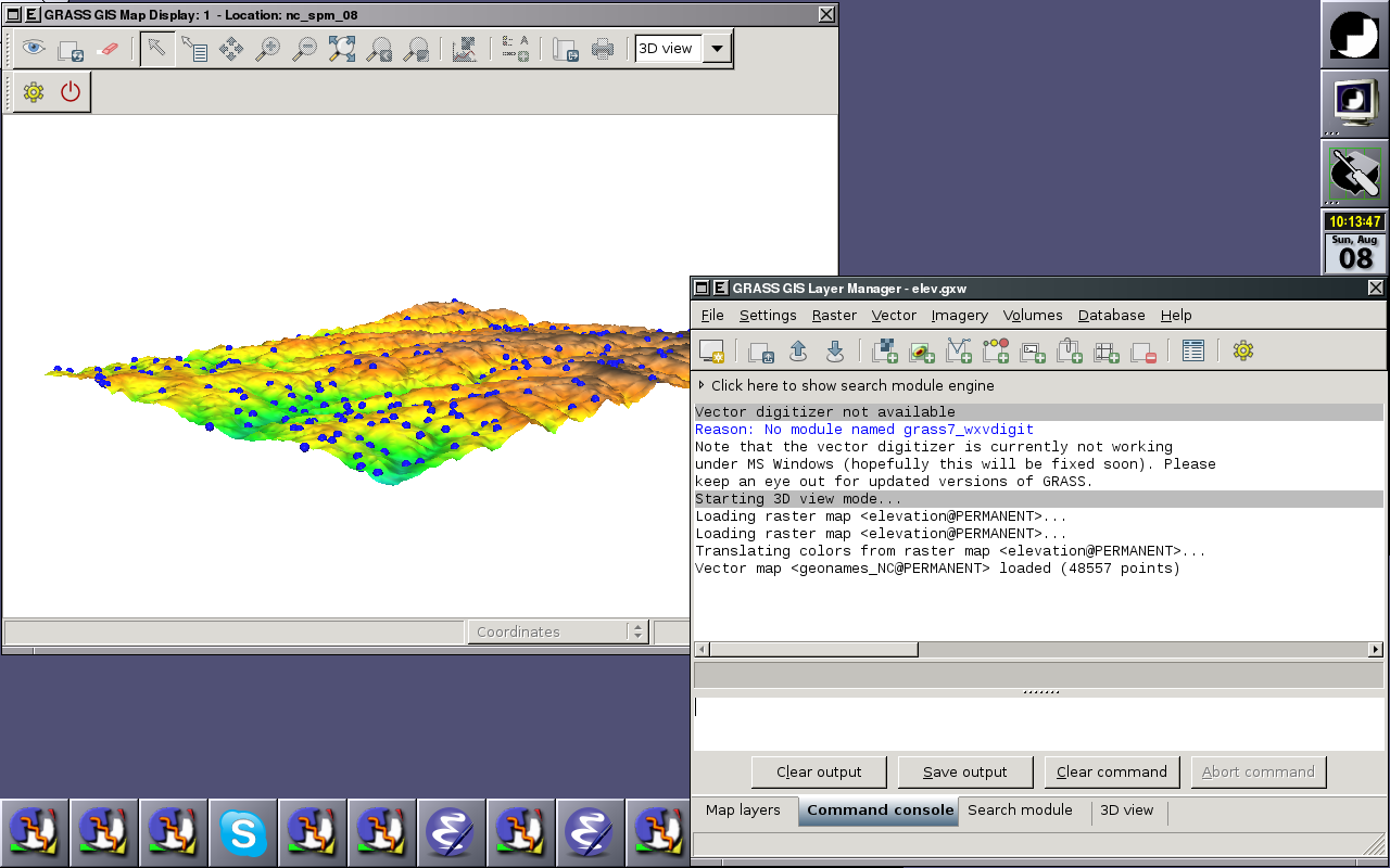
wxNviz is a wxGUI extension which allows users to realistically render multiple surfaces (raster data) in a 3D space, optionally using thematic coloring, draping 2D vector data over the surfaces, displaying 3D vector data in the space, and visualization of volume data (3D raster data).
Screenshots
Ideas
- Fog support (see [1], [2], [3])
- Vertical labels (take from geonames.org point data): like in http://tev.fbk.eu/marmota/blog/?p=82
