WxNviz: Difference between revisions
Jump to navigation
Jump to search
| Line 41: | Line 41: | ||
* List of [http://trac.osgeo.org/grass/query?status=assigned&status=new&status=reopened&order=priority&col=id&col=summary&col=status&col=owner&col=type&col=priority&col=milestone&keywords=~wxNviz open] and [http://trac.osgeo.org/grass/query?status=assigned&status=closed&order=priority&col=id&col=summary&col=status&col=owner&col=type&col=priority&col=milestone&keywords=~wxNviz closed] tickets | * List of [http://trac.osgeo.org/grass/query?status=assigned&status=new&status=reopened&order=priority&col=id&col=summary&col=status&col=owner&col=type&col=priority&col=milestone&keywords=~wxNviz open] and [http://trac.osgeo.org/grass/query?status=assigned&status=closed&order=priority&col=id&col=summary&col=status&col=owner&col=type&col=priority&col=milestone&keywords=~wxNviz closed] tickets | ||
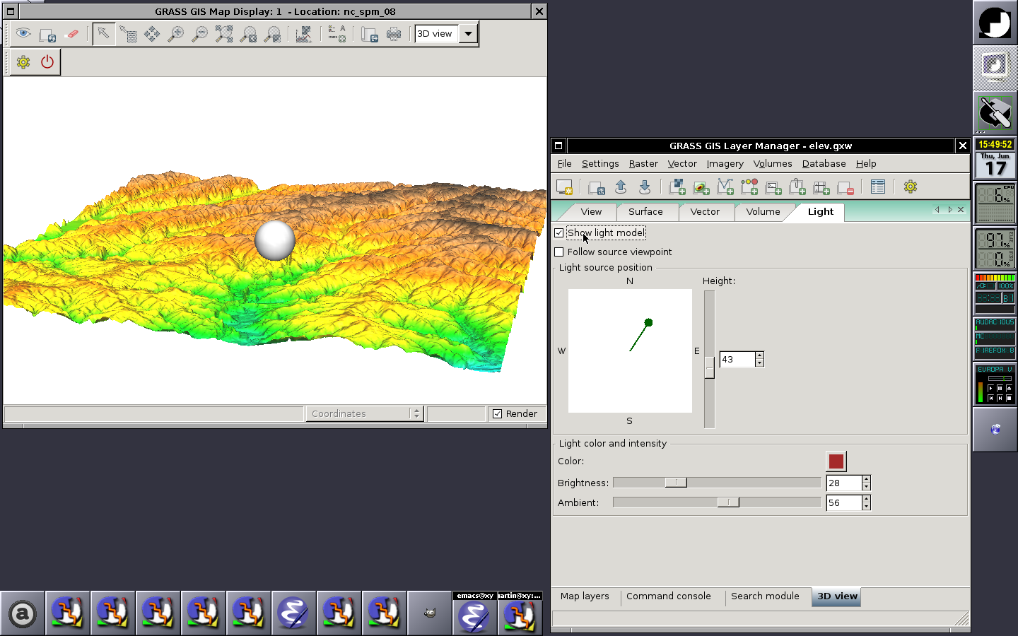
* Light settings doesn't work | * Light settings doesn't work | ||
* Map canvas is flickering when adding new vector map layer | * Map canvas is flickering when adding new vector map layer - it crashes wxGUi for me on Mac | ||
* it still does not clean the View pannel when switching from 3d back to 2d | |||
*rendering at high res works only when changing viewing position or clicking the buttons that increase the numbers for persp, twist, height and z-exag. Moving sliders does the required change but there is no redraw to full resolution | |||
* adding draw, draw current and clear button may be useful | |||
* typing in the height or z-exag numbers and ENTER does not do anything but the typed number gets accepted after clicking on | |||
the increase/decrease button | |||
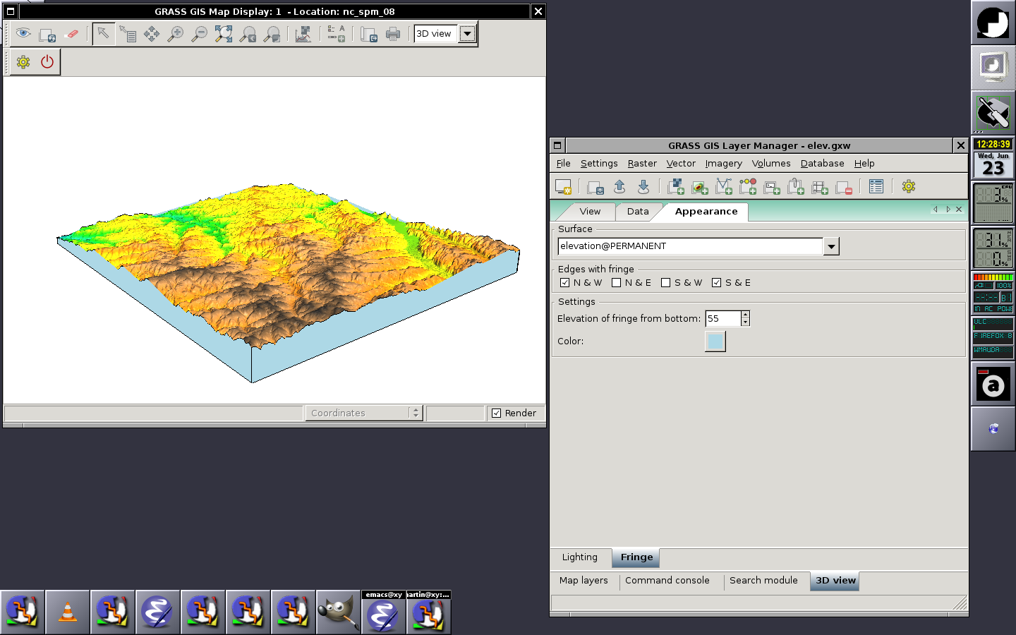
* adding fringe just flashes it but it does not stay there. | |||
== Google Summer of Code == | == Google Summer of Code == | ||
Revision as of 02:16, 17 August 2010
Back to wxGUI page.
See also wxGUI.Nviz manual page.
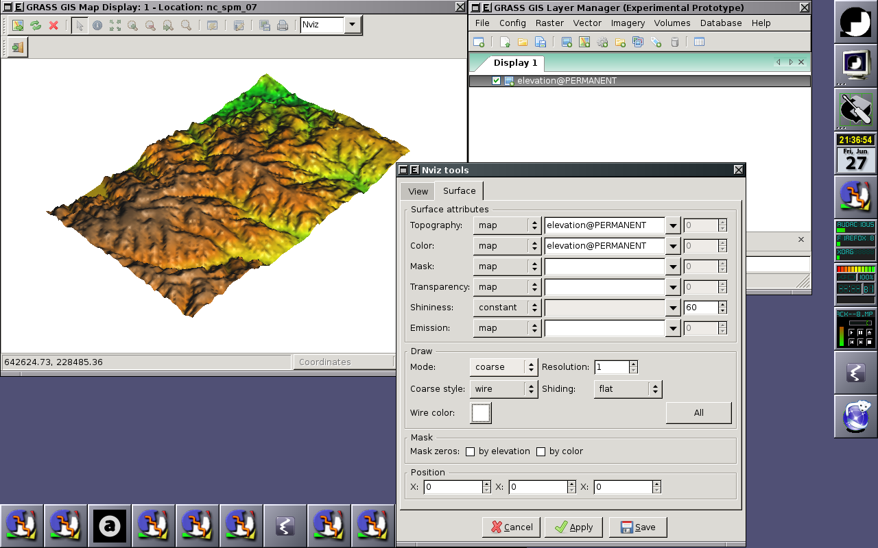
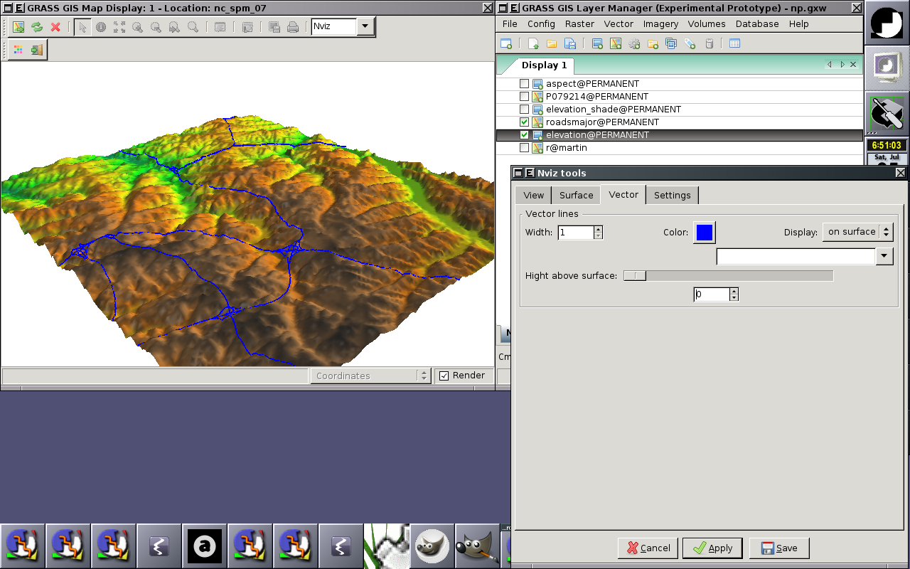
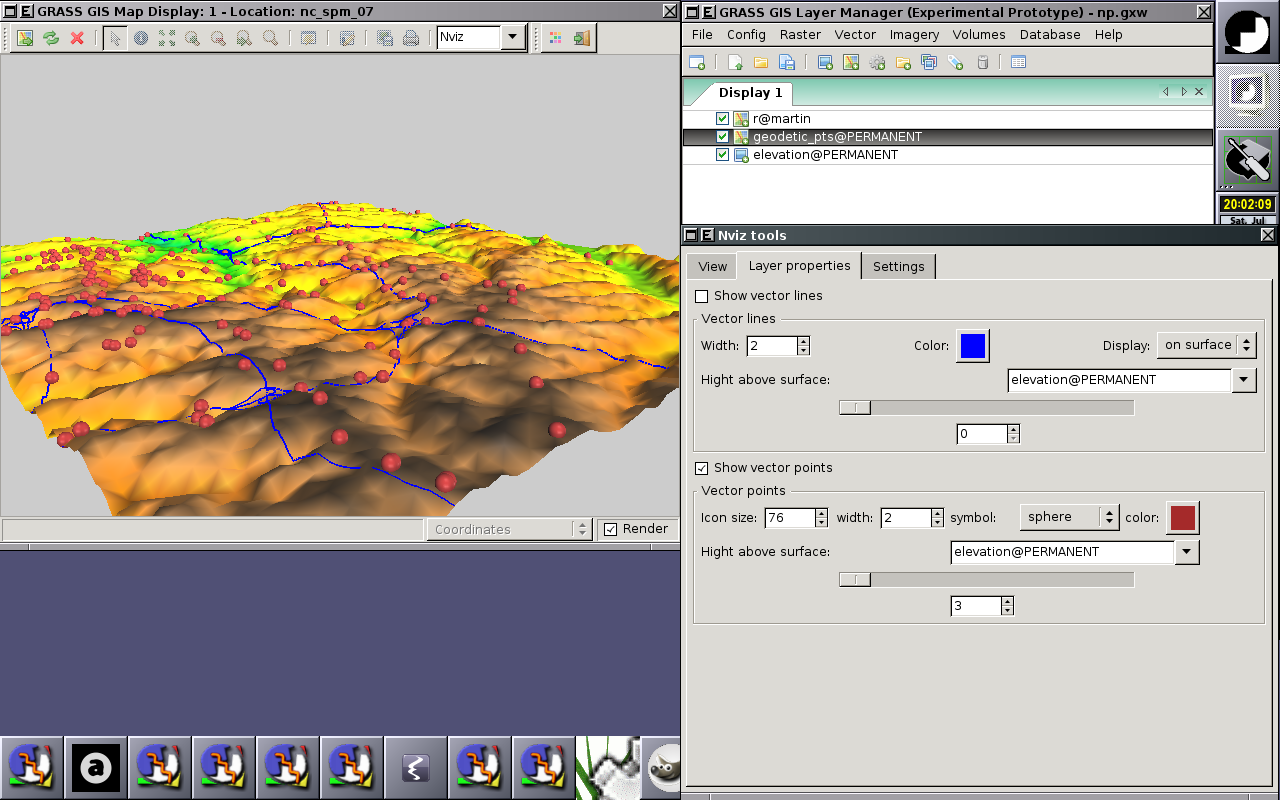
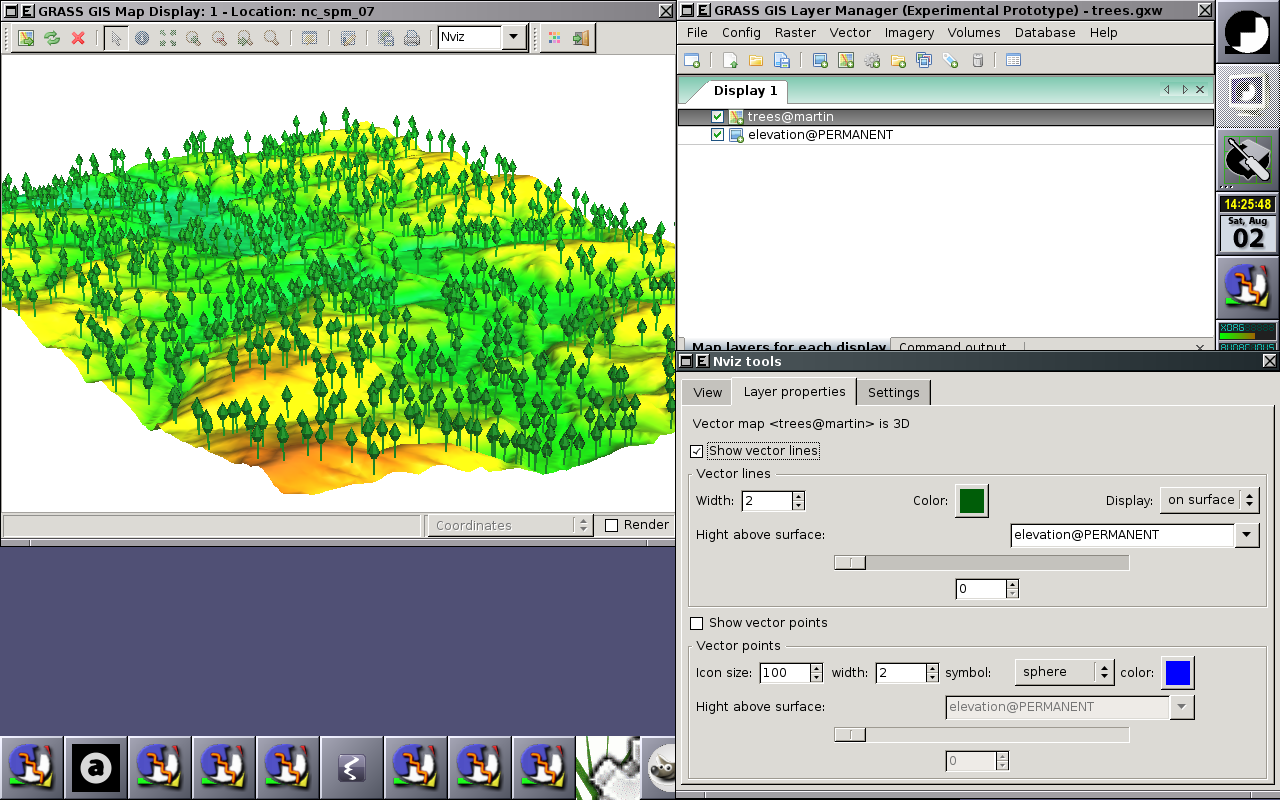
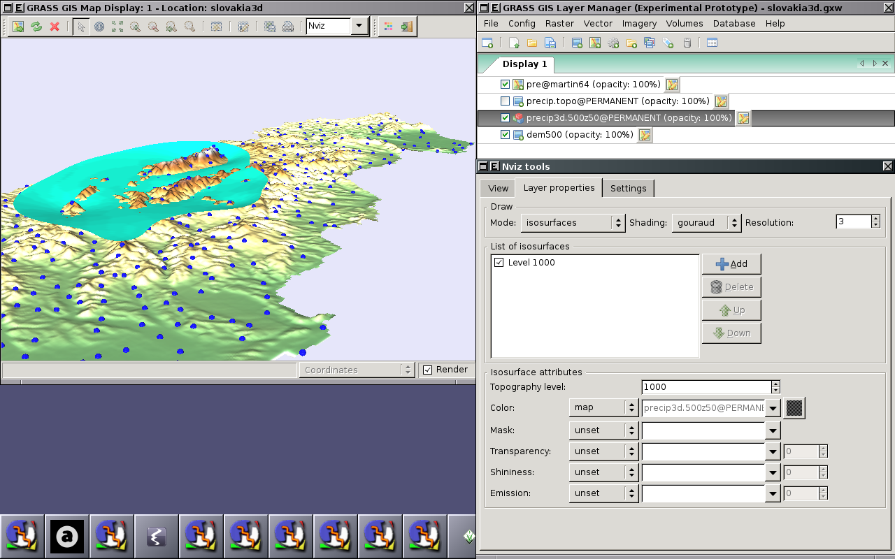
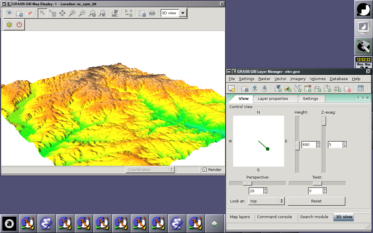
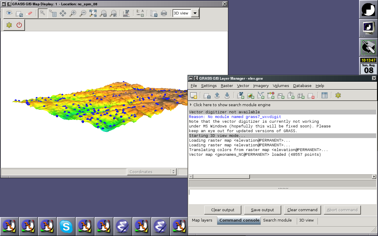
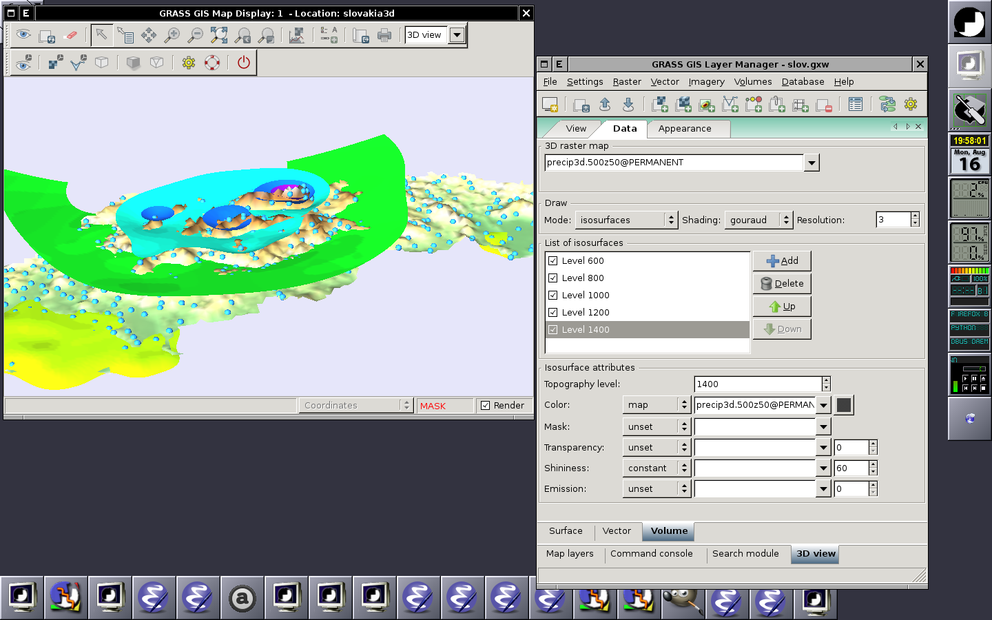
wxNviz is a wxGUI extension which allows users to realistically render multiple surfaces (raster data) in a 3D space, optionally using thematic coloring, draping 2D vector data over the surfaces, displaying 3D vector data in the space, and visualization of volume data (3D raster data).
Screenshots
HowTo
Ideas
- Fog support (see [1], [2], [3])
- Vertical labels (take from geonames.org point data): like in http://tev.fbk.eu/marmota/blog/?p=82
Know issues
- List of open and closed tickets
- Light settings doesn't work
- Map canvas is flickering when adding new vector map layer - it crashes wxGUi for me on Mac
- it still does not clean the View pannel when switching from 3d back to 2d
- rendering at high res works only when changing viewing position or clicking the buttons that increase the numbers for persp, twist, height and z-exag. Moving sliders does the required change but there is no redraw to full resolution
- adding draw, draw current and clear button may be useful
- typing in the height or z-exag numbers and ENTER does not do anything but the typed number gets accepted after clicking on
the increase/decrease button
- adding fringe just flashes it but it does not stay there.
