Performance comparison GRASS vs. ArcGIS: Difference between revisions
Jump to navigation
Jump to search
mNo edit summary |
mNo edit summary |
||
| Line 6: | Line 6: | ||
:'''Input data:''' Vector layer 'StatPolygon' from [http://www.arcdata.cz/produkty-a-sluzby/geograficka-data/arccr-500/ ArcCR500] dataset | :'''Input data:''' Vector layer 'StatPolygon' from [http://www.arcdata.cz/produkty-a-sluzby/geograficka-data/arccr-500/ ArcCR500] dataset | ||
:'''Comparison:''' Windows Server Enterprise {{bullet}} Intel Xeon CPU E5520 2.27GHz 2.26GHz (2 processors) {{bullet}} 8GB {{bullet}} 64bit OS | :'''Comparison:''' Windows Server Enterprise {{bullet}} Intel Xeon CPU E5520 2.27GHz 2.26GHz (2 processors) {{bullet}} 8GB {{bullet}} 64bit OS | ||
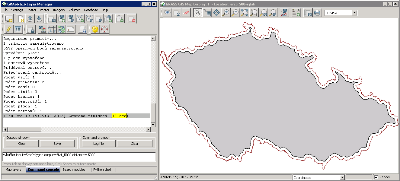
::*GRASS 7: <code>v.buffer input=StatPolygon output=Stat_5000 distance=-5000</code> → '''12sec''' | ::*'''GRASS 7:''' <code>v.buffer input=StatPolygon output=Stat_5000 distance=-5000</code> → '''12sec''' | ||
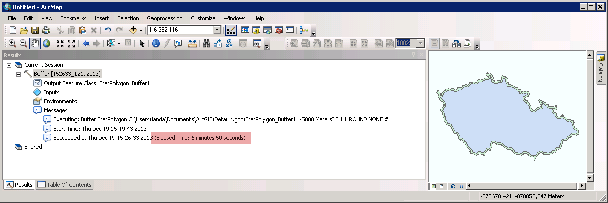
::*ArcGIS 10.2: <code>Buffer StatPolygon Stat_5000 "-5000 Meters" FULL ROUND NONE</code> → '''6min 50sec''' | ::*'''ArcGIS 10.2:''' <code>Buffer StatPolygon Stat_5000 "-5000 Meters" FULL ROUND NONE</code> → '''6min 50sec''' | ||
{{fig|buffer-negative-distance|Vector buffer with negative distance (GRASS)|size=640}} | {{fig|buffer-negative-distance|Vector buffer with negative distance (GRASS)|size=640}} | ||
{{fig|arcgis-buffer-negative-distance|Vector buffer with negative distance (ArcGIS)|size=640}} | {{fig|arcgis-buffer-negative-distance|Vector buffer with negative distance (ArcGIS)|size=640}} | ||
Revision as of 20:18, 19 December 2013
Vector buffer (special case)
- Task: Create buffer around vector polygon with negative distance
- Input data: Vector layer 'StatPolygon' from ArcCR500 dataset
- Comparison: Windows Server Enterprise • Intel Xeon CPU E5520 2.27GHz 2.26GHz (2 processors) • 8GB • 64bit OS
- GRASS 7:
v.buffer input=StatPolygon output=Stat_5000 distance=-5000→ 12sec - ArcGIS 10.2:
Buffer StatPolygon Stat_5000 "-5000 Meters" FULL ROUND NONE→ 6min 50sec
- GRASS 7:

