WxNviz
Back to wxGUI page.
See also wxNviz manual page.
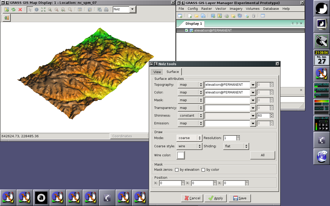
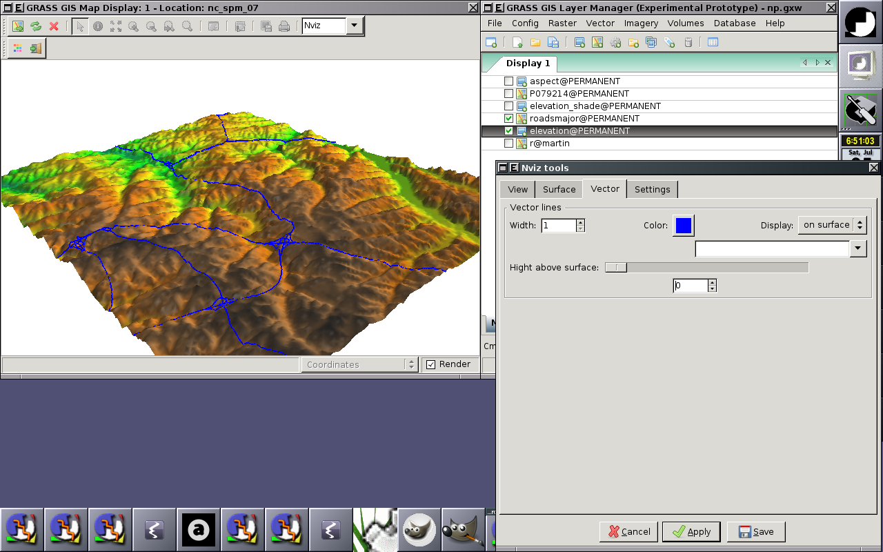
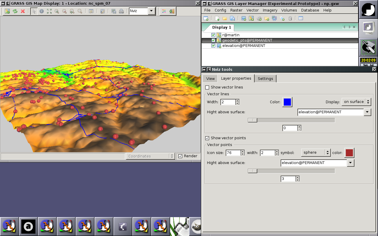
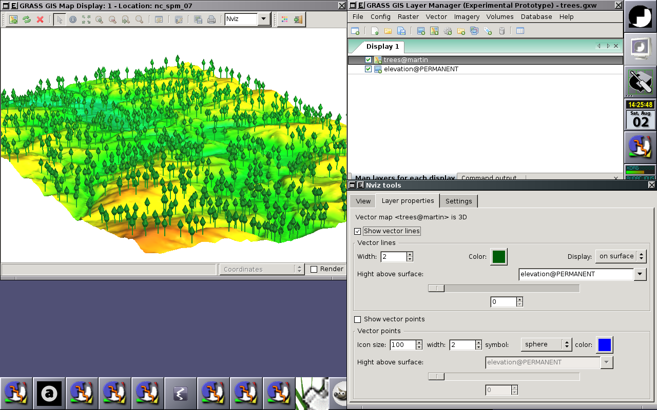
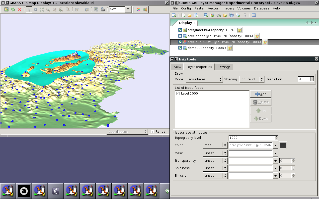
wxGUI Nviz extension allows users to realistically render multiple surfaces (raster data) in a 3D space, optionally using thematic coloring, draping 2D vector data over the surfaces, displaying 3D vector data in the space, and visualization of volume data (3D raster data).
Screenshots
Alpha prototype
Ideas
- Fog support (see [1], [2], [3])
- Vertical labels (take from geonames.org point data): like in http://tev.fbk.eu/marmota/blog/?p=82
