WCS
This page is about support of OGC web coverage services (WCS) in GRASS GIS.
Metasites and collections of WCS servers
- ...
Using WCS in GRASS GIS
One option is to register the WCS service via r.external.
First create ASCII file with this content, named e.g. "wcs_geoserver_LL.wcs":
<WCS_GDAL>
  <ServiceURL>http://demo.opengeo.org/geoserver/wcs?</ServiceURL>
  <CoverageName>Img_Sample</CoverageName>
</WCS_GDAL>
or simply download this file from here.
Start GRASS in a latlong location (EPSG 4326), then register the WCS file:
r.external input=wcs_geoserver_LL.wcs output=wcs_data
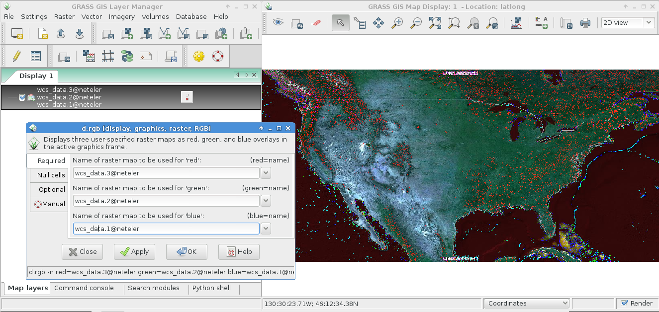
Then you can look at the map in the wxGUI map display:

In order to limit the WCS to a bounding box (e.g. from current region) a GDAL vrt file can be created from the WCS ASCII file using gdalbuildvrt:
gdalbuildvrt wcs_geoserver_LL_BB.vrt wcs_geoserver_LL.wcs -te xmin ymin xmax ymax