WxGUI Cartographic Composer
Back to wxGUI.
For development issues see Trac page.
ps.map (see also ps.output) is a cartographic composer, intended to be a stand-alone hardcopy plot generator. It is not meant to be a Print button for the maps currently displayed in the map canvas, that will need it own controls.
The GUI (so called wx.psmap) will prepare a semi-WYSIWYG + tree menu controls which can write a ps.map control file, and then run ps.map to create PostScript output directly. See the announcement in the mailing list.
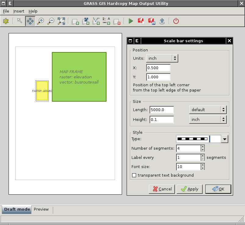
The GUI currently supports the most important mapping instructions
- paper
- scale
- maploc
- rast
- vects
- scalebar
- mapinfo
- legend
- text labels
-
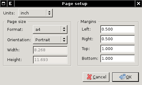
wx.psmap - page setup dialog
-
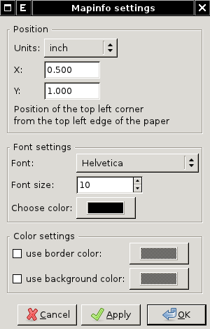
wx.psmap - mapinfo dialog
Installation
After installation launch Hardcopy Map Output Utility from wxGUI menu
File -> Hardcopy Map Output Utility
Requirements
- GRASS 6.4.2+ is required. On MS Windows you can try daily builds which already comes wx.psmap installed.
- (optional) Python Imaging Library for preview functionality
- (optional) ps2pdf for PDF export
From wxGUI
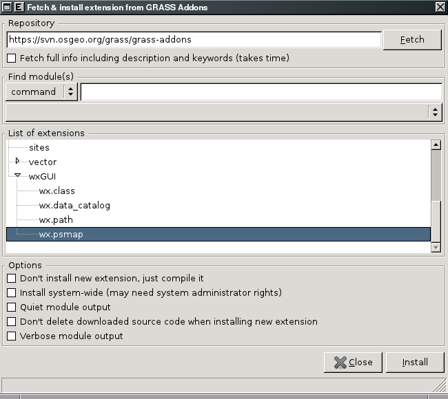
Setting -> Install extension from add-ons
- Click on "Fetch" button
- Choose "wxGUI | wx.psmap"
- Check in "Install system-wide (may need system administrator rights)"
- And install selected extension by clicking on "Install"
From Command Prompt
- In GRASS 7
g.extension -s svnurl=https://svn.osgeo.org/grass/grass-addons extension=wx.psmap
- In GRASS 6
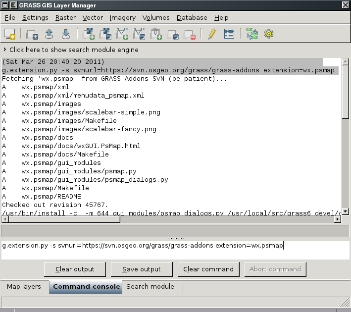
Note: g.extension in GRASS 6 doesn't support installing wxGUI extensions. You can install wx.psmap from wxGUI Command prompt using Python version of g.extension available as g.extension.py
g.extension.py -s svnurl=https://svn.osgeo.org/grass/grass-addons extension=wx.psmap
Input
- Ability to load in saved ps.map instructions file. I consider this to be a low priority, deal with it after map creation is fully functional. Start with scripts saved using the GUI, after that is working expand to load any ps.map instructions file.
Outputs
- ps.map instructions file
- PostScript file
