Search results
Jump to navigation
Jump to search
- Grätzelstr. 2<br> ...116 bytes (16 words) - 08:44, 25 January 2012
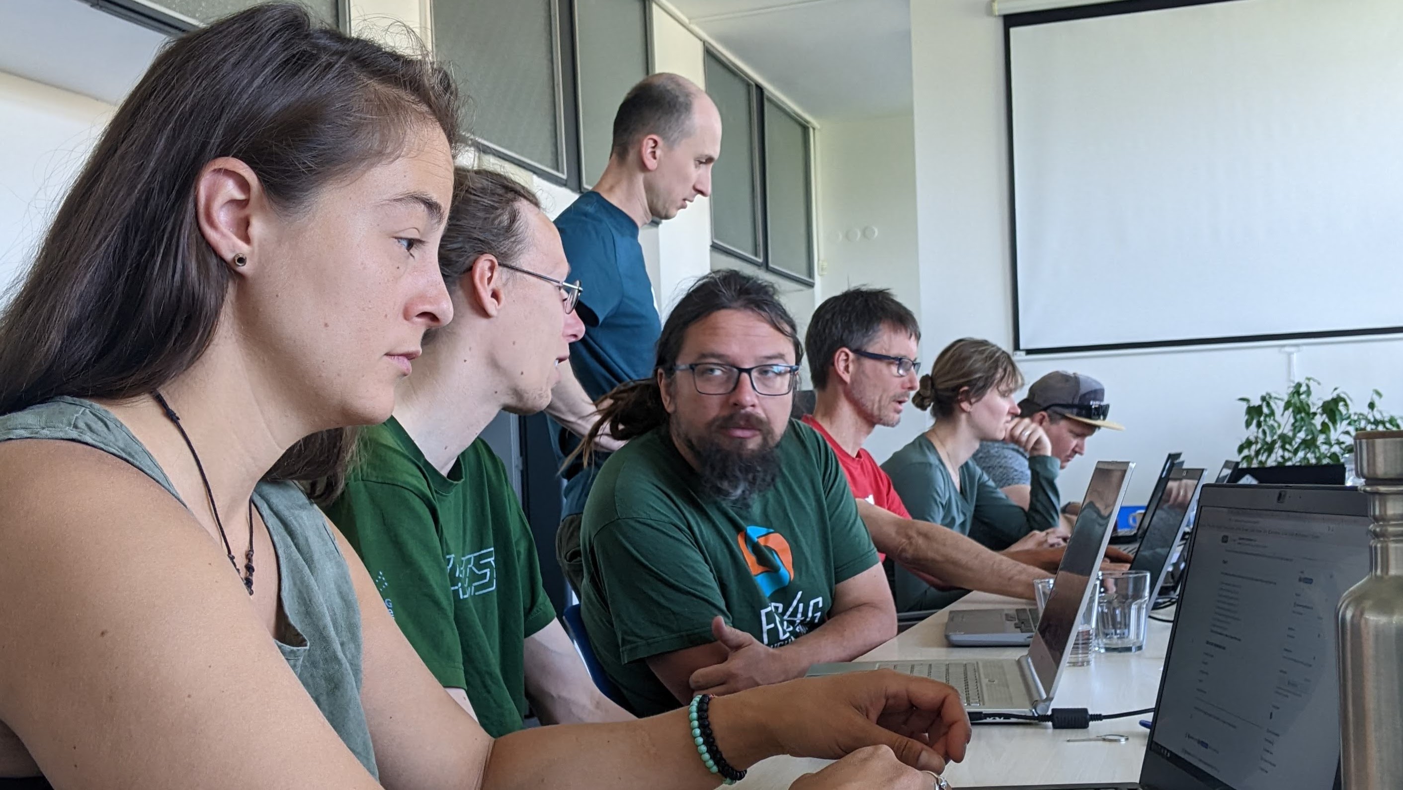 Devs and users alike working on day 2 of the Prague Community Meeting 2023 ...(2,823 × 1,589 (588 KB)) - 09:44, 5 June 2023
- ==== Method 2 ==== ...932 bytes (151 words) - 17:58, 31 December 2013
- where 2 6.75 scale 1 inch equals 2 miles ...4 KB (482 words) - 17:26, 5 January 2010
- ...e.g. when and by whom it was designed, etc.--[[User:NikosA|Nikos]] 15:46, 2 January 2013 (PST) ...174 bytes (27 words) - 21:38, 25 January 2013
- v.category option=transfer input=centr_pts output=centr_pts2 layer=1,2 v.db.addtable centr_pts2 col="x double,y double,z double" layer=2 ...1,005 bytes (173 words) - 20:00, 3 August 2016
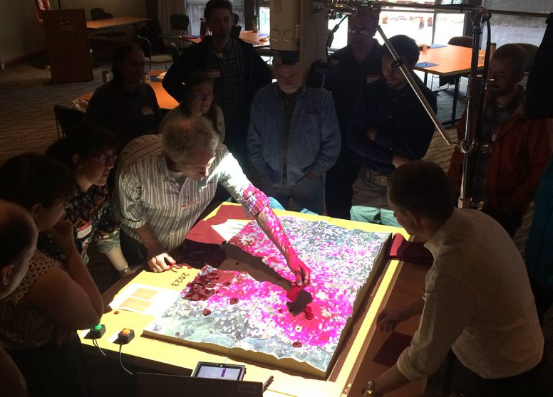 ...(1) North Carolina State University Raleigh, Raleigh, NC, United States, (2) North Carolina State University Raleigh, Center for Geospatial Analytics, ...(776 × 558 (126 KB)) - 10:06, 23 December 2018
- ALL_MAX=`echo "$max $ALL_MAX" | awk '{if ($1 > $2) print $1; else print $2}'` ALL_MIN=`echo "$min $ALL_MIN" | awk '{if ($1 < $2) print $1; else print $2}'` ...3 KB (437 words) - 15:59, 26 August 2014
 ...erence of the International Cartographic Association, Washington, DC, July 2 to 7, 2017 ...(860 × 251 (64 KB)) - 15:14, 2 June 2017
- ...in 2018 developing two GRASS GIS add-ons for the preprocessing of Sentinel-2 images: i.sentinel.preproc and i.sentinel.mask. ...817 bytes (126 words) - 08:40, 30 October 2020
- <span class="plainlinks">[https://grass.osgeo.org/{{{1}}} {{{2}}}]</span><noinclude> ...352 bytes (38 words) - 21:01, 9 August 2015
- ! style="width:2%" | <small>[[XVI_Meeting_degli_Utenti_Italiani_di_GRASS_GFOSS/Who|+/-]]</sm | colspan="2" style="width:100%; border: 1px solid #AAAAAA; background-color: #F9F9F9; b ...2 KB (325 words) - 14:10, 18 February 2015
- coords_add=`v.out.ascii points_to_add |cut -d "|" -f1,2 | tr "|" ","` ...243 bytes (41 words) - 20:25, 19 June 2012
- ...enu|Settings|Preferences}}</noinclude><includeonly><code>{{{1}}} → {{{2}}}{{#if: {{{3|}}} | → {{{3}}}|}}</code> ...219 bytes (21 words) - 19:22, 15 November 2013
- ** GUI fixes: 2 ** Better CLI messages: 2 ...3 KB (351 words) - 16:32, 20 November 2020
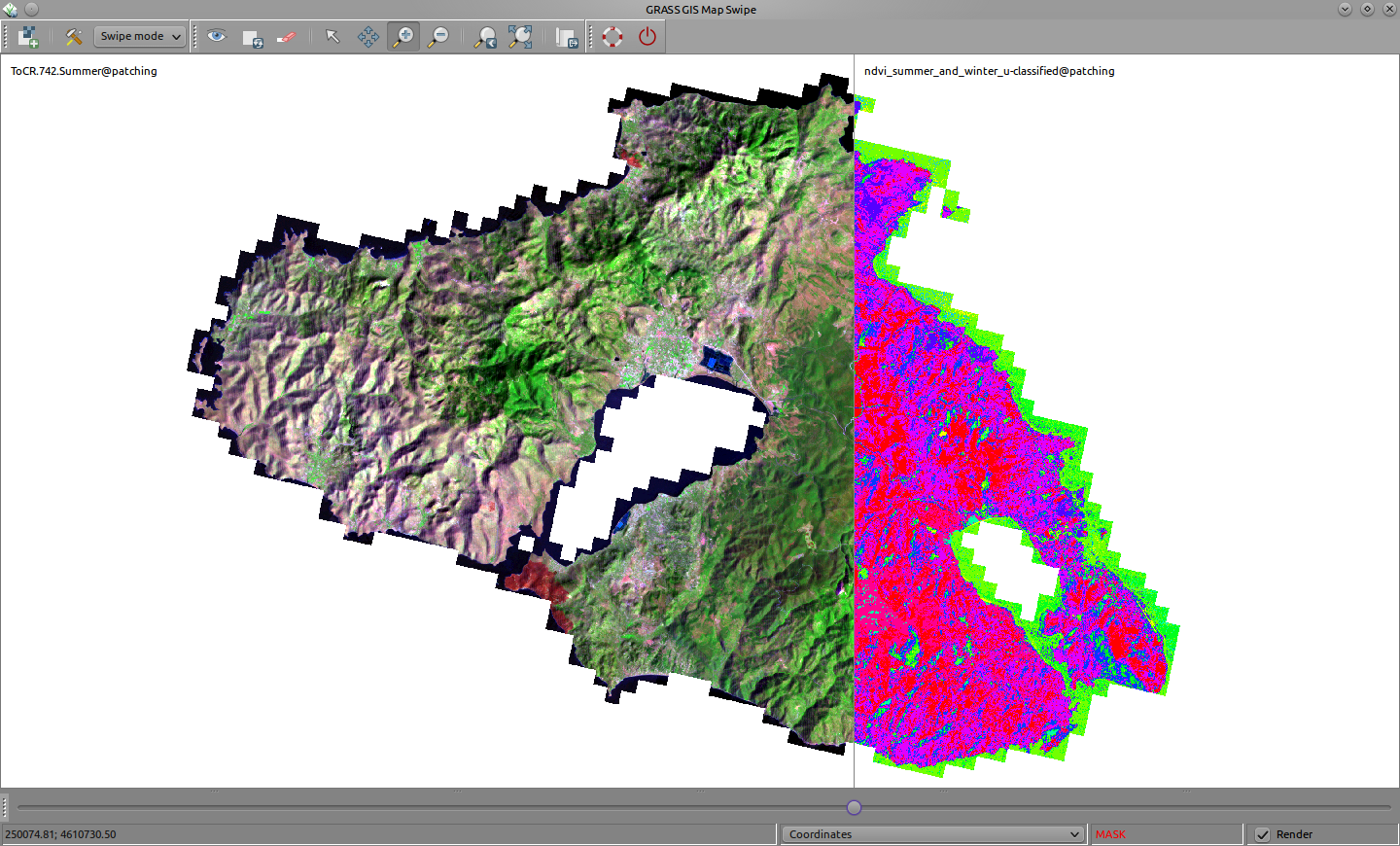 ...eek island Mytilene (Lesvos): swiping a summer Landsat RGB (bands 7, 4 and 2) composite image and an unsupervised classification based on a bi-temporal ...(1,440 × 870 (593 KB)) - 23:18, 23 February 2013
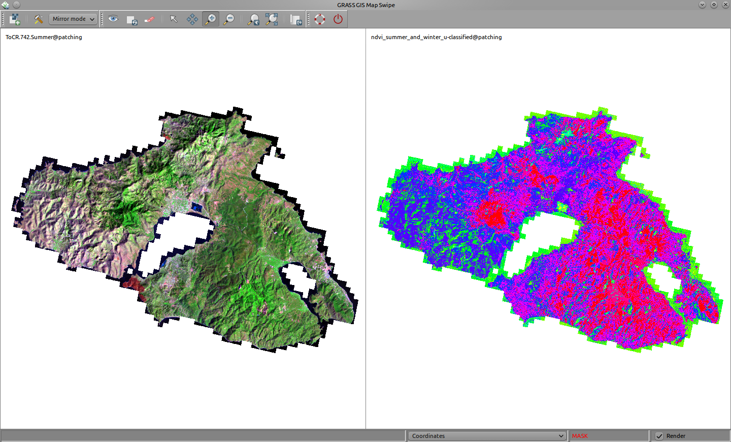 ...k island Mytilene (Lesvos): mirroring a summer Landsat RGB (bands 7, 4 and 2) composite image and an unsupervised classification based on a bi-temporal ...(1,440 × 870 (501 KB)) - 23:19, 23 February 2013
- ...nly>[http://{{{lang|en}}}.wikipedia.org/wiki/{{urlencode:{{{1}}}|WIKI}} {{{2|{{{1}}}}}}]</includeonly><noinclude> ...293 bytes (30 words) - 16:52, 23 December 2012
- ...and have fun! [[User:Neteler|Neteler]] ([[User talk:Neteler|talk]]) 13:12, 2 December 2020 (PST) ...300 bytes (44 words) - 21:12, 2 December 2020
- B 2 B 2 ...1 KB (140 words) - 12:49, 13 March 2011


