GRASS Location Wizard
Creating a new location in GRASS
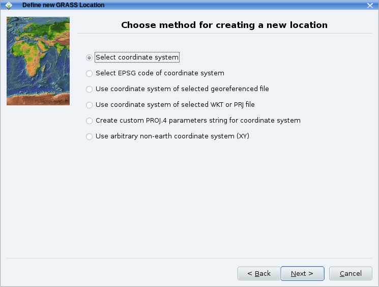
The location wizard enables to create a new location in a few simple steps. It provides a number of ways to set the map projection: from a geodata file (SHAPE, GeoTIFF etc), using an EPSG code, settting parameters manually, etc.
Here an example:
First screen of the Location wizard which is found in the GRASS GIS Startup window:
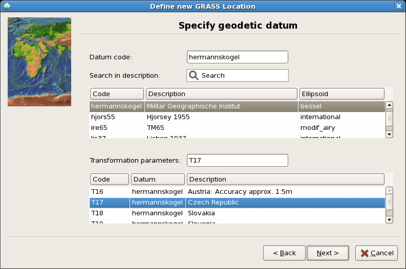
The location wizard also helps you select the appropriate geodetic datum and transform parameters for your map projection.:
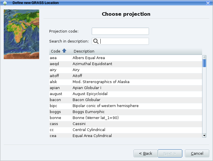
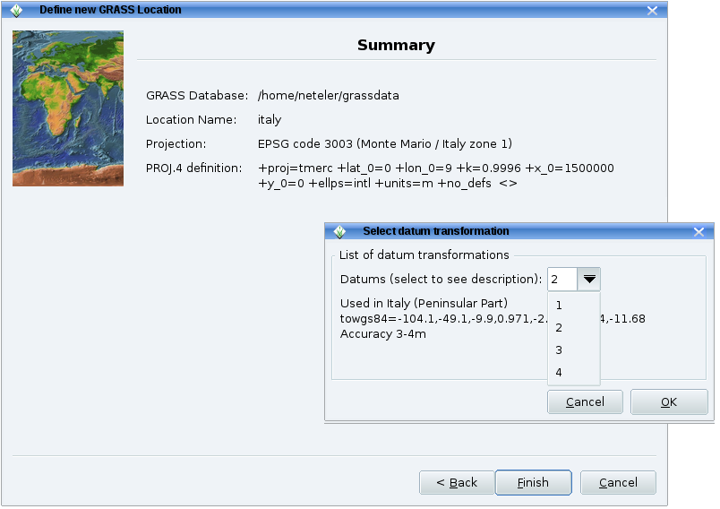
You are then brought back to the initial window of GRASS and enter the session with the "Start GRASS" button.
Import raster data
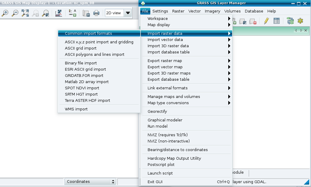
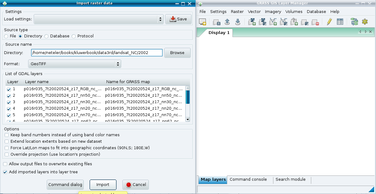
From the main GRASS GIS menu, go to "File" --> "Import raster data" for easy raster map import.
For example, to import multiple GeoTIFF files, run:
Import vector data
From the main GRASS GIS menu, go to "File" --> "Import vector data" for easy vector map import.
The usage is similar to that of raster data (see above).