WxGUI Map Swipe
Introduction
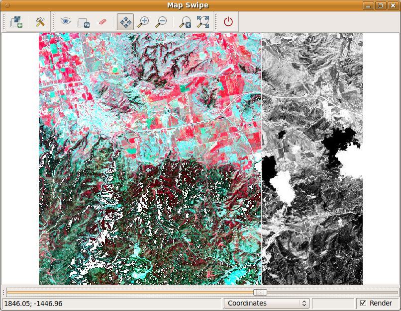
The Map Swipe is a wxGUI application which allows GRASS users to interactively compare two raster maps of the same area by revealing different parts of the raster maps. It is useful e.g. for comparing raster maps from different time periods. See also the manual.
The Map Swipe is available in GRASS 7 from the menu
File -> Map Swipe
and will be backported to GRASS 6 after some testing.

Implemented features:
- orientation of the swipe line can be changed (horizontal or vertical)
- zooming, panning
- maps are loaded automatically when opening Map Swipe with two selected raster maps in Layer Manager
Disaster analysis
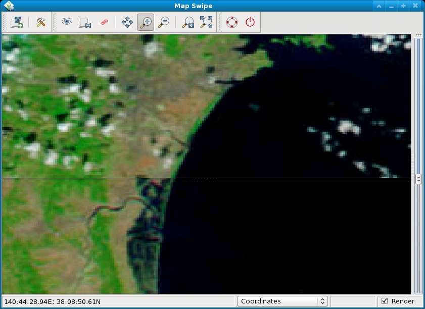
The Map swipe tool is particularly interesting for pre and post disaster analysis of satellite or other images.
Screenshot of map comparison:
