Environmental Protection and Monitoring
- Hydrological modelling and GIS: the Sandia Environmental Decision Support System: An open architecture for environmental decision support
- GRASS GIS was used to support analysis of data from environmental monitoring programs such as the Chesapeake Bay Program (USA)
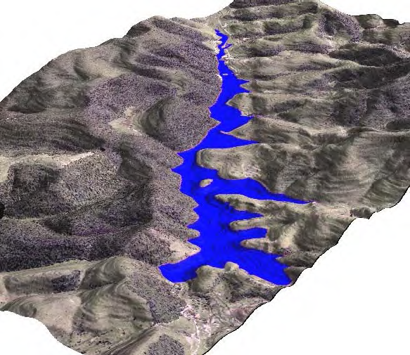
- This picture, created using GRASS's NVIZ, presents a (virtual) visualization of the lake to be formed if a dam is constructed in this area. This would prevent several environment impacts on the Una watershed basin located in Taubaté municipality, in São Paulo State, southeast Brazil.
