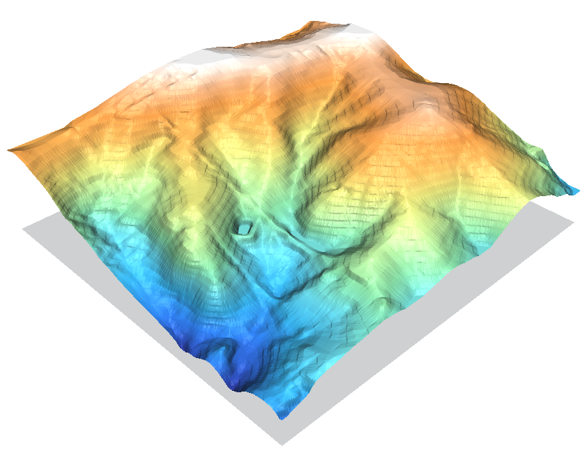
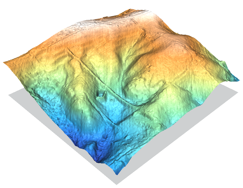
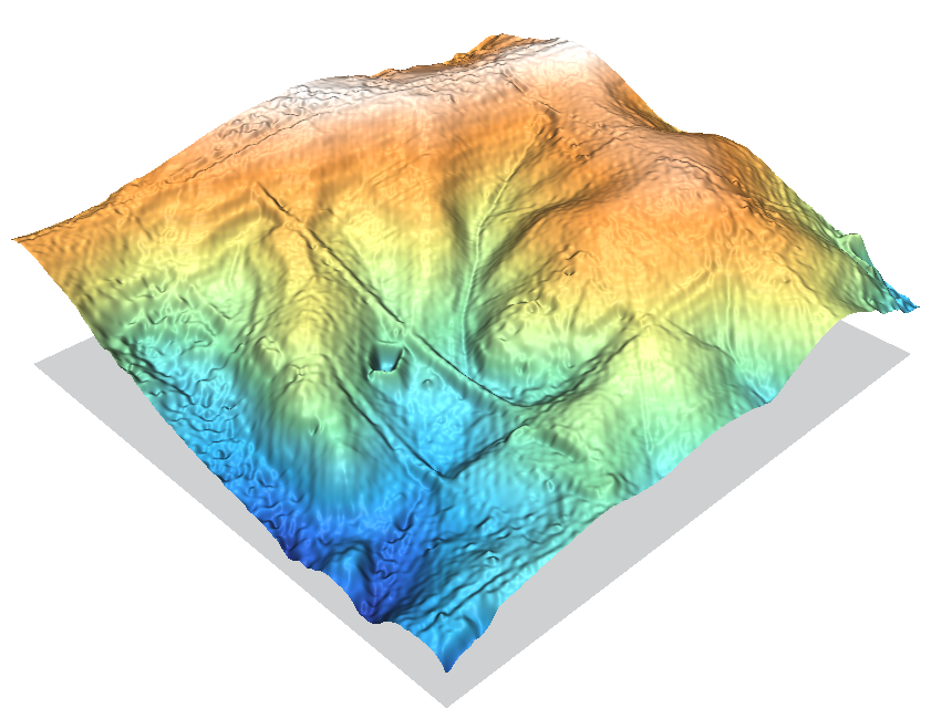
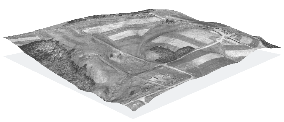
Contour lines to DEM
About
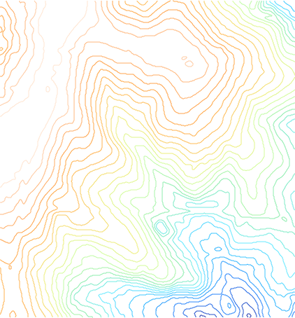
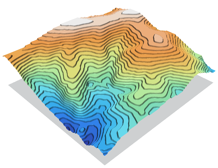
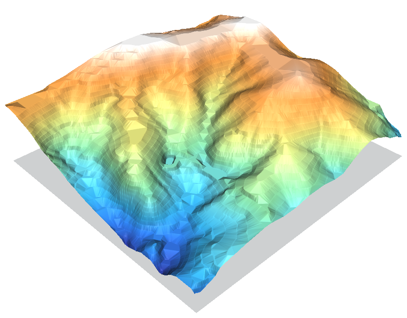
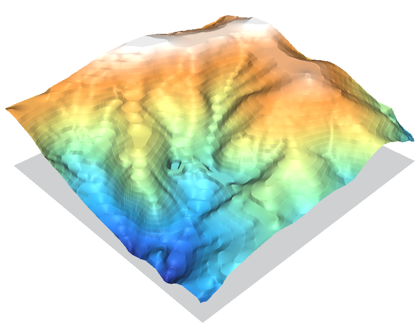
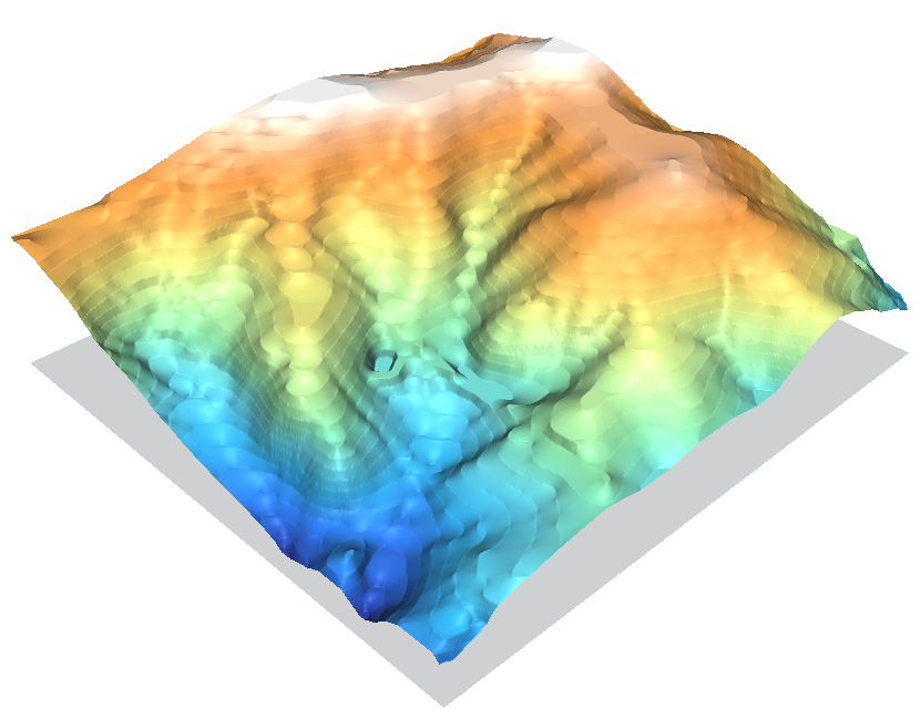
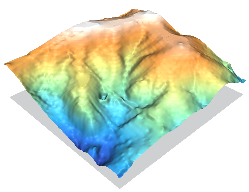
This page will demonstrate and compare a number of different methods of converting vector contour lines into raster DEM surfaces.
It uses the North Carolina sample dataset's elev_lid792_cont1m 1m contour line map as the starting point.
First we set the computational region to match the contour lines vector map, and then we force the resolution to align with a 1m grid:
g.region vect=elev_lid792_cont1m
g.region res=1 -ap
We can display it on a Xmonitor to be sure:
d.mon x0
d.vect elev_lid792_cont1m -z zcolor=elevation
A number of the r.surf.* modules want the input data to be in raster form already, so we rasterize the contour lines, using the level column for the height values. Also some of the older r.surf.* modules only like to work on integers, so to preserve sub-meter fidelity we do a little trick where we multiply by a large number, do the process, then divide by that number again.
v.to.rast in=elev_lid792_cont1m out=elev.1mcont \
  type=line column=level
r.mapcalc "elev.1mcont.100k = elev.1mcont * 100000"
r.surf.idw
(and r.surf.idw2)
