File:NLCD 2016 Land Cover example.png
No higher resolution available.
NLCD_2016_Land_Cover_example.png (637 × 480 pixels, file size: 53 KB, MIME type: image/png)
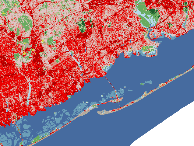
National Land Cover Database 2016 (NLCD2016) example, south shore of Long Island, NY
File history
Click on a date/time to view the file as it appeared at that time.
| Date/Time | Thumbnail | Dimensions | User | Comment | |
|---|---|---|---|---|---|
| current | 04:46, 2 July 2019 | | 637 × 480 (53 KB) | ⚠️HamishBowman (talk | contribs) | National Land Cover Database 2016 (NLCD2016) example, south shore of Long Island, NY |
You cannot overwrite this file.
File usage
The following page uses this file: