Talk:GRASS GIS Community Sprint Autumn 2017
Jump to navigation
Jump to search
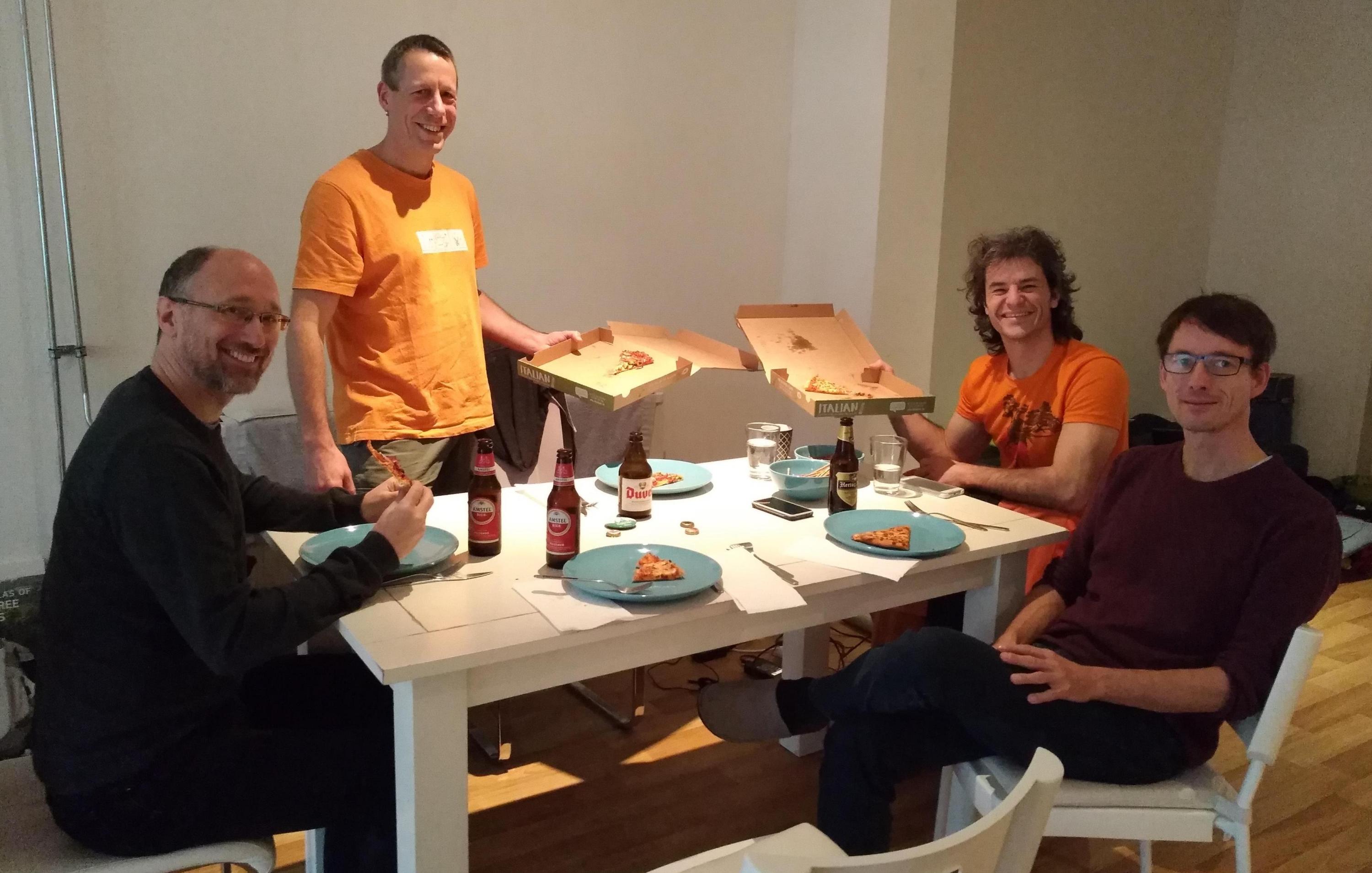
Photos of the event
Summary
To be added
Participants and Reports
Changes in trac: see here
Veronica Andreo
- Add/enhance descriptions of tasks for Google Code-in (GCI) in shared spreadsheet
- Discussions about GRASS GIS GCI tasks with Luca Delucchi
- Create list of core modules and add-ons missing examples and screenshots (by means of: check_examples_screenshots.py)
- Add new and improved modules to NewFeatures74 page and re-write it nicely
- Upload of GRASS GIS flyer in Spanish with help of MN and svg support of Vincent Bain: svg, pdf
- Test r.hants and r.series.lwr after r71682, see trac #2790
- Closed ticket trac #3301
- (re)Tweeting as https://twitter.com/GRASSGIS
- Text and screenshot update of lib/init/helptext for trunk and release branch
- Told MN about Add-ons manuals outdated and missing or wrong description in meta-pages (r.li, r.modis, r.green)
- Discussions about the new website
- Add missing height of figures in r.series.lwr and r.seasons add-ons manual pages
- Discussions about GRASS GIS startup with MN, MM and ML: location wizard prevents new-users to actually see the software and creates confusion, a possible solution being start GRASS directly into NC location or into a global lat-long location
Markus Neteler
- GRASS GIS 8 discussions: improvements in the raster library: tile support
- Assist in production and upload of GRASS GIS flyer in Spanish with VA
- manual: fix missing height HTML tags according to https://trac.osgeo.org/grass/wiki/Submitting/Docs#Images
- Told Nikos about an ultra-fast and cool cmd line search tool (so much faster than "grep"): https://github.com/ggreer/the_silver_searcher
- Search for a function in the source code: ag grass_to_osr
- Search for a function in the source code restricted to C files only: ag --cc grass_to_osr
- ag --list-file-types
- various module manual fixes and ticket cleanup
- Re(Tweeting) to https://twitter.com/GRASSGIS (a bit of marketing :-)
- GRASS GIS 7.4.x release branch has been created in r71701
- Remember that trunk is now called 7.5.svn, i.e. the trunk binary is called "grass75" and no longer "grass73".
- many updates of grass72 --> grass74 in relbranch74
- Web site:
- cronjobs for G74 created and activated
- a few Web pages updated for new upcoming release
- Discussions about GRASS GIS startup with VA, MM and ML: location wizard prevents new-users to actually see the software and creates confusion
- Solution: Startup into main menu with Lat-Long predefined, then show import wizard || switch projection || change location
- Alternative: start GRASS in last location+mapset, then ask if GRASSDB/location/mapset should be changed.
Markus Metz
- Some discussions about raster format and grass 8
- made NULL file compression the default
- fixing 7.4-tagged bugs:
- fix vector support in GCP manager
- r.out.gdal: export inf values
- r.out.gdal: +option to add overviews
- work on datum check at data import
- more, see trac list
Moritz Lennert
- Added tests to r.object.geometry and fixed a bug noticed through the test ;-)
- Bug triaging
- 7.4 release preparation:
- 7.4.0-News page
- Writing press release
- Some discussions about raster format and grass 8
- Work on improving r.neighborhoodmatrix
- Discussions on new web site
- (unsuccessful) attempts at debugging g.gui.iclass
Nikos Alexandris
- Minor assistance in adding new/improved modules at NewFeatures74
- Implemented suggested tests for NULL file compression trac #2750 (see comment 66, see also https://github.com/NikosAlexandris/test_r_compress) | Thank you Moritz, Markus M
- Basic structure for an r.estimap addon, implementation of an algorithm for producing (European) recreation potential and opportunity maps | For the moment, still in a private repository. Will open once... ready!
- I suggest https://getgrav.org/, a flat-file CMS

