WxGUI/Video tutorials: Difference between revisions
< WxGUI
(Created page with "This page contains video tutorials for wxGUI. __TOC__ == Import vector data == Importing multiple vector (e.g., SHAPE) files: <center> {| | [[Image:WxGUI_vector_bulk_imp...") |
(web service tutorial added) |
||
| (6 intermediate revisions by one other user not shown) | |||
| Line 36: | Line 36: | ||
|} | |} | ||
</center> | </center> | ||
== Add web service layer== | |||
{{YouTube|vfNw4SAP2Uc}} | |||
== Link vector data (GRASS 7) == | == Link vector data (GRASS 7) == | ||
| Line 48: | Line 52: | ||
* Manual page of {{cmd|wxGUI.GCP_Manager|desc=GCP Manager}} | * Manual page of {{cmd|wxGUI.GCP_Manager|desc=GCP Manager}} | ||
{{youTube|fXEHqguR9Ac|desc=Georectifying raster data in GRASS 7}} | |||
== Graphical modeler == | == Graphical modeler == | ||
* See wxGUI [[WxGUI | * See wxGUI [[WxGUI Graphical Modeler#Video tutorials|Graphical Modeler]] page. | ||
== Layer Manager: Searching GRASS module == | == Layer Manager: Searching GRASS module == | ||
| Line 61: | Line 67: | ||
{{YouTube|LsTdYpEcP1M|desc=Commands protocol}} | {{YouTube|LsTdYpEcP1M|desc=Commands protocol}} | ||
== | == Raster calculator == | ||
{{YouTube|yMpVVRaVYeA|desc=Calculating NDVI}} | {{YouTube|yMpVVRaVYeA|desc=Calculating NDVI}} | ||
{{youTube|zADAJD3sytI|desc=Extracting elevation higher then 1000 meters}} | |||
== wxGUI 3D view mode (wxNviz) == | == wxGUI 3D view mode (wxNviz) == | ||
See [[WxNviz#Video tutorials|wxNviz]] page. | See [[WxNviz#Video tutorials|wxNviz]] page. | ||
== Spatial query (v.select) == | |||
{{youTube|teA-x-vmXYc|desc=Select streets which are crossed by railway}} | |||
{{wxGUI}} | {{wxGUI}} | ||
Latest revision as of 11:17, 24 January 2013
This page contains video tutorials for wxGUI.
Import vector data
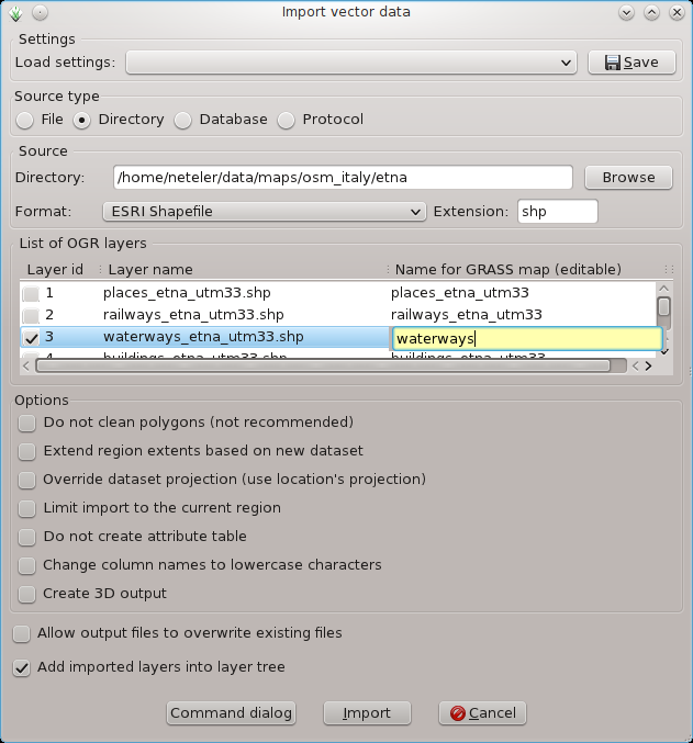
Importing multiple vector (e.g., SHAPE) files:
 |
 |
- Import DXF
- Import other vector formats:
Import raster data
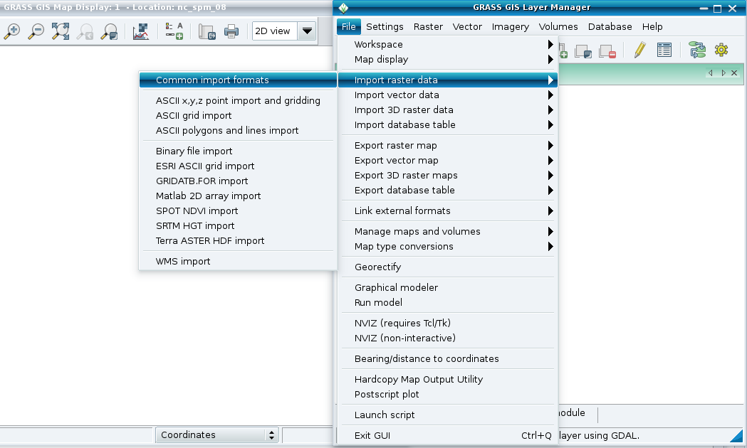
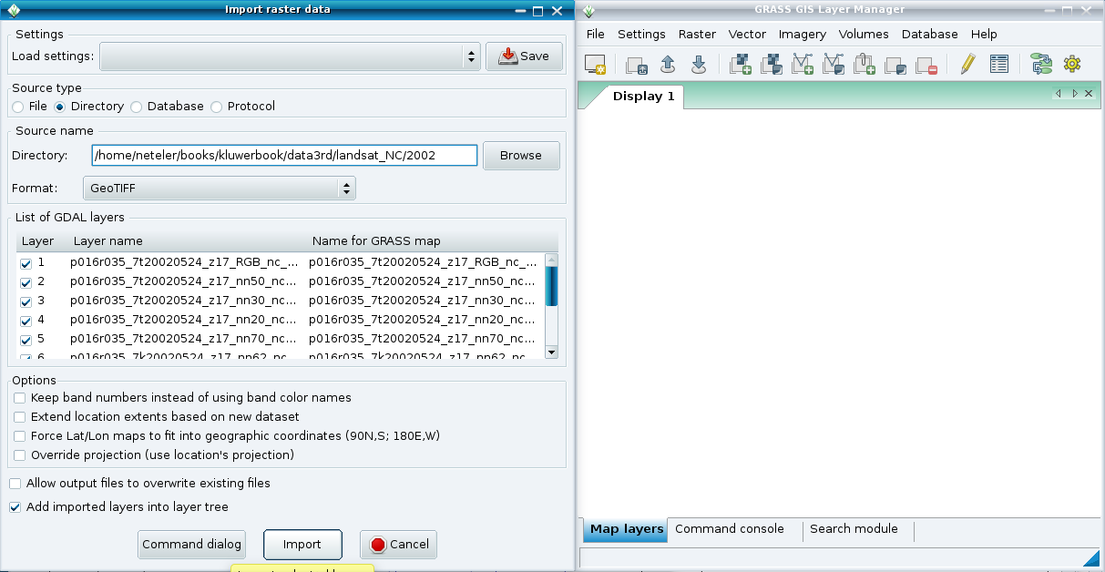
Importing multiple GeoTIFF files:
 |
 |
Add web service layer
Link vector data (GRASS 7)
Map display
Georectifier
- Manual page of GCP Manager
Graphical modeler
- See wxGUI Graphical Modeler page.
Layer Manager: Searching GRASS module
Layer Manager: Commands protocol
Raster calculator
wxGUI 3D view mode (wxNviz)
See wxNviz page.