GRASS GIS Community Sprint Bonn 2018: Difference between revisions
Veroandreo (talk | contribs) (→Photos: more pics) |
|||
| (21 intermediate revisions by 10 users not shown) | |||
| Line 1: | Line 1: | ||
{{toc|right}} | {{toc|right}} | ||
The '''GRASS GIS community''' will join the general '''OSGeo Code Sprint''' at BaseCamp in Bonn, following the annual FOSSGIS conference (German Speaking OSGeo Local Chapter conference in Bonn, Germany) | The '''GRASS GIS community''' will join the general '''OSGeo Code Sprint''' at [http://www.basecamp-bonn.com/ BaseCamp in Bonn], following the annual FOSSGIS conference (German Speaking OSGeo Local Chapter conference in Bonn, Germany) | ||
<center> | <center> | ||
| Line 10: | Line 9: | ||
== Timing, Venue == | == Timing, Venue == | ||
OSGeo Code Sprint: '''March 18 - 25, 2018 at BaseCamp | OSGeo Code Sprint: '''March 18 - 25, 2018 at [http://www.basecamp-bonn.com/ BaseCamp, Bonn], Germany'''. | ||
Location: [http://www.openstreetmap.org/way/44335958#map=18/50.70763/7.12316| OpenStreetMap] | |||
== Sponsors == | == Sponsors == | ||
| Line 30: | Line 31: | ||
== Agenda - What we plan to do == | == Agenda - What we plan to do == | ||
=== New GRASS GIS startup style === | |||
* Wiki page on Trac: https://trac.osgeo.org/grass/wiki/wxGUIDevelopment/New_Startup | |||
* To simplify GRASS GIS startup, | |||
** first the full GUI should be shown and immediately the location dialog popped up _inside_ GRASS GIS | |||
** default SRS: long-lat 4326 | |||
* Rationale: don't continue to be different from the rest of the world when not needed | |||
** New solution needs to cover following scenarios: | |||
*** GISDBASE does not exist; | |||
*** GISDBASE exists, but there is no location with EPSG:4326; | |||
*** Selected location/mapset must be propagated down to background CLI process too. | |||
=== Move to Git === | === Move to Git === | ||
* Choose among different options: OSGeo Git, Github, GitLab | * Choose among different options: OSGeo Git, Github, GitLab | ||
** A "team" has been set up for playing around: https://github.com/orgs/OSGeo/teams/grass-gis | |||
* Participants are invited to study Git in advance :-) | * Participants are invited to study Git in advance :-) | ||
* Consider moving only GRASS 8 (or 7.7) without history and push history into a separate repository. Rationale – repository checkout will have to contain all branches thus blowing-up checkout size. There is an option to use several git repos "chained" together to have access to full history without having it to live in a single repository. Here's an example: https://archive.org/details/git-history-of-linux https://stackoverflow.com/questions/161928/what-are-git-info-grafts-for | |||
'''Learn from others:''' | |||
* GDAL migration, see https://lists.osgeo.org/pipermail/gdal-dev/2018-March/048240.html and following emails (about migration, including scripts) | |||
** New RFC: https://trac.osgeo.org/gdal/wiki/rfc71_github_migration | |||
=== New website === | === New website === | ||
* Choose among different options: Wordpress, Sphinx, ... ? | * <del>Choose among different options</del>: '''Wordpress''' <del>,Sphinx</del>, ... ? A new Wordpress installation is requested in SAC ([https://trac.osgeo.org/osgeo/ticket/2131 ticket]). {{done}} | ||
** https://staging.grass.osgeo.org/ (login with OSGeo-ID) | |||
=== Python interface for external usage === | |||
* complete the new "grass-session" pip package (https://github.com/zarch/grass-session) | |||
* change packaging to for better support of site-package | |||
=== Integration with QGIS Processing === | === Integration with QGIS Processing === | ||
| Line 55: | Line 80: | ||
* Includes also wxGUI support for wxPython 4 | * Includes also wxGUI support for wxPython 4 | ||
* ... | * ... | ||
=== Virtual raster maps === | |||
Implement something like GDAL's VRT concept for raster maps: be able to create a single virtual map from adjacent raster maps (nice for working with tiled data) | |||
== Planned participation == | == Planned participation == | ||
| Line 135: | Line 164: | ||
|Migration to git discussion, website discussion, GRASS 8, new GRASS GIS startup | |Migration to git discussion, website discussion, GRASS 8, new GRASS GIS startup | ||
|M | |M | ||
| | |||
|- | |||
|8 | |||
|Ondřej Pešek | |||
|Czech Republic | |||
|18.3. | |||
|25.3. | |||
|Artificial neural networks in GRASS GIS, g.gui.modeler, SOS tools | |||
|M | |||
| | |||
|- | |||
|9 | |||
|[[User:Radeknovotny94|Radek Novotný]] | |||
|Czech Republic | |||
|18.3. | |||
|23.3. | |||
|Integration with QGIS Processing | |||
|L | |||
| | |||
|- | |||
|10 | |||
|Anika Bettge | |||
|Germany | |||
|20.3. | |||
|20.3. | |||
|Segmentaion and classification | |||
| | |||
| | |||
|- | |||
|11 | |||
|Nikos Alexandris | |||
|Germany | |||
|19.3. | |||
|23.3. | |||
| GRASS workflows + distributed file system (i.e. https://github.com/cern-eos/eos), Publishing r.estimap ([[Talk:GRASS_GIS_Community_Sprint_Autumn_2017#Nikos_Alexandris|started in November 2017]]), Tests suggested in https://trac.osgeo.org/grass/ticket/774 | |||
|S/M | |||
| | | | ||
|- | |- | ||
| Line 156: | Line 221: | ||
|width=130px|'''Participant ''' | |width=130px|'''Participant ''' | ||
|width=100px|'''Country''' | |width=100px|'''Country''' | ||
|'''Note''' | |||
|- | |- | ||
|1 | |1 | ||
|Yann Chemin | |Yann Chemin | ||
|Sri Lanka | |Sri Lanka | ||
| | | | ||
|- | |- | ||
|2 | |2 | ||
|Helmut Kudrnovsky | |[[User:hellik|Helmut Kudrnovsky]] | ||
|Austria | |Austria | ||
| | |||
|- | |||
|3 | |||
|[[User:Wenzeslaus|Vaclav Petras]] | |||
|USA | |||
|Available for video call on Monday, Mar 19 and Wednesday, Mar 21 | |||
|- | |||
|4 | |||
|[[User:Annakrat|Anna Petrasova]] | |||
|USA | |||
|Available for video call on Monday, Mar 19 and Wednesday, Mar 21 | |||
|- | |||
|5 | |||
|[[User:helena|Helena Mitasova]] | |||
|USA | |||
|Available for video call on Monday, Mar 19 and Wednesday, Mar 21 | |||
|- | |- | ||
|} | |} | ||
| Line 176: | Line 258: | ||
== Photos == | == Photos == | ||
<gallery widths="380px" heights="300px" perrow="3"> | |||
File:Grass osgeo codesprint 2018.jpg | |||
File:Grass osgeo codesprint 2018 b.jpg | |||
File:Grass osgeo codesprint 2018 c.jpg | |||
File:Grass osgeo codesprint 2018 d.jpg | |||
File:Grass osgeo codesprint 2018 f.jpg | |||
File:Grass osgeo codesprint 2018 e.jpg | |||
</gallery> | |||
== Reports == | == Reports == | ||
Latest revision as of 08:24, 2 April 2018
The GRASS GIS community will join the general OSGeo Code Sprint at BaseCamp in Bonn, following the annual FOSSGIS conference (German Speaking OSGeo Local Chapter conference in Bonn, Germany)
Timing, Venue
OSGeo Code Sprint: March 18 - 25, 2018 at BaseCamp, Bonn, Germany.
Location: OpenStreetMap
Sponsors
Please check more info on the Bonn Code Sprint 2018 here.
We also welcome direct financial contributions to help reducing travelling and accommodation expenses for GRASS developers with far arrival If you are interested to sponsor the GRASS Community Sprint, please read about
- sponsoring the GRASS project at http://grass.osgeo.org/donations
Note that it is also possible to buy a round of beer for the developers with a quick click using the PayPal "Buy [pizza/beer/...] Now" button

For any questions, please contact Markus Neteler <neteler at osgeo.org>. Any surplus at the end of the event will be turned over to the GRASS GIS project.
This GRASS GIS Community Sprint is a great occasion for you to support the development of GRASS. With your contribution you'll enable more developers to meet. The community sprint is an important opportunity for the GRASS developers to discuss and collaboratively resolve bugs, plan the direction for the project and work on new features. Please see below for the more detailed agenda. The developers and contributors are donating their valuable time, so it would be great if in-kind funding can be made available from within the community to cover out-of-pocket expenses. All of the work that takes place at the community sprint will be directly contributed back into the GRASS project to the benefit of everyone who uses it. This Bonn event is especially interesting since important OSGeo projects come together!
Agenda - What we plan to do
New GRASS GIS startup style
- Wiki page on Trac: https://trac.osgeo.org/grass/wiki/wxGUIDevelopment/New_Startup
- To simplify GRASS GIS startup,
- first the full GUI should be shown and immediately the location dialog popped up _inside_ GRASS GIS
- default SRS: long-lat 4326
- Rationale: don't continue to be different from the rest of the world when not needed
- New solution needs to cover following scenarios:
- GISDBASE does not exist;
- GISDBASE exists, but there is no location with EPSG:4326;
- Selected location/mapset must be propagated down to background CLI process too.
- New solution needs to cover following scenarios:
Move to Git
- Choose among different options: OSGeo Git, Github, GitLab
- A "team" has been set up for playing around: https://github.com/orgs/OSGeo/teams/grass-gis
- Participants are invited to study Git in advance :-)
- Consider moving only GRASS 8 (or 7.7) without history and push history into a separate repository. Rationale – repository checkout will have to contain all branches thus blowing-up checkout size. There is an option to use several git repos "chained" together to have access to full history without having it to live in a single repository. Here's an example: https://archive.org/details/git-history-of-linux https://stackoverflow.com/questions/161928/what-are-git-info-grafts-for
Learn from others:
- GDAL migration, see https://lists.osgeo.org/pipermail/gdal-dev/2018-March/048240.html and following emails (about migration, including scripts)
New website
Choose among different options: Wordpress,Sphinx, ... ? A new Wordpress installation is requested in SAC (ticket). √- https://staging.grass.osgeo.org/ (login with OSGeo-ID)
Python interface for external usage
- complete the new "grass-session" pip package (https://github.com/zarch/grass-session)
- change packaging to for better support of site-package
Integration with QGIS Processing
After some intensive discussions the decision of the QGIS devs is to continue with the "Processing" support (see summary email by P Cavallini)
Action item: update the GRASS GIS processing provider. A boilerplate could be the new SAGA processing provider.
Port wxGUI to wxPython 4
- Finish porting wxGUI code to the new wxPython 4
- It also includes porting code to Python 3
Finish the full Python 3 support
- Includes also wxGUI support for wxPython 4
- ...
Virtual raster maps
Implement something like GDAL's VRT concept for raster maps: be able to create a single virtual map from adjacent raster maps (nice for working with tiled data)
Planned participation
For organizational reasons, please additionally register at: https://wiki.osgeo.org/wiki/OSGeo_Code_Sprint_2018#Participants <<--- important!
In person
Please add your name here or contact Luca Delucchi <lucadeluge at gmail com>:
| No | Participant | Country | Arrival | Departure | Topic | T-Shirt | Notes |
| 1 | Markus Neteler | Germany | 18.3. | 25.3. | Migration to git discussion, GRASS GIS 8, new GRASS GIS startup | M | |
| 2 | Martin Landa | Czech Republic | 18.3. | 25.3. | Migration to git discussion, website discussion, GRASS GIS 8 | L | |
| 3 | Stefan Blumentrath | Germany/Norway | 20.03. | 25.03. | Flexible | L | |
| 4 | Veronica Andreo | Argentina/Netherlands | 18.3 | ??.?? | TGRASS, Documentation, website discussion | S | |
| 5 | Luca Delucchi | Italy | 18.3 | ??.?? | Migration to git discussion, TGRASS, testsuite, website discussion | L | |
| 6 | Moritz Lennert | Belgium | 18.3 | 21.3 | Migration to git discussion, website discussion, GRASS 8, new GRASS GIS startup, work on OBIA addons, ... | M | |
| 7 | Markus Metz | Germany | 18.3. | 22.3. | Migration to git discussion, website discussion, GRASS 8, new GRASS GIS startup | M | |
| 8 | Ondřej Pešek | Czech Republic | 18.3. | 25.3. | Artificial neural networks in GRASS GIS, g.gui.modeler, SOS tools | M | |
| 9 | Radek Novotný | Czech Republic | 18.3. | 23.3. | Integration with QGIS Processing | L | |
| 10 | Anika Bettge | Germany | 20.3. | 20.3. | Segmentaion and classification | ||
| 11 | Nikos Alexandris | Germany | 19.3. | 23.3. | GRASS workflows + distributed file system (i.e. https://github.com/cern-eos/eos), Publishing r.estimap (started in November 2017), Tests suggested in https://trac.osgeo.org/grass/ticket/774 | S/M | |
| # | ... |
Via IRC chat
(IRC is a nice archaic chat system, see IRC)
| No | Participant | Country | Note |
| 1 | Yann Chemin | Sri Lanka | |
| 2 | Helmut Kudrnovsky | Austria | |
| 3 | Vaclav Petras | USA | Available for video call on Monday, Mar 19 and Wednesday, Mar 21 |
| 4 | Anna Petrasova | USA | Available for video call on Monday, Mar 19 and Wednesday, Mar 21 |
| 5 | Helena Mitasova | USA | Available for video call on Monday, Mar 19 and Wednesday, Mar 21 |
Individual Preparation
- Bring your own computer
- Bring your power connector adapter if needed (photo: Germany). See also http://www.power-plugs-sockets.com/
- Install subversion and the compiler tools, and come with a working GRASS development environment if possible.
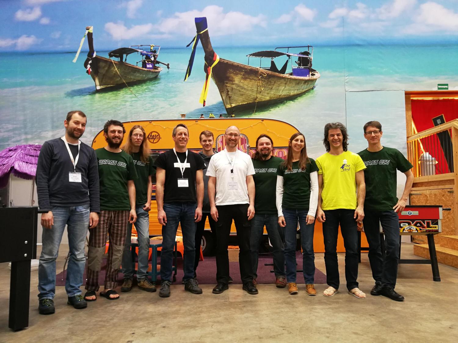
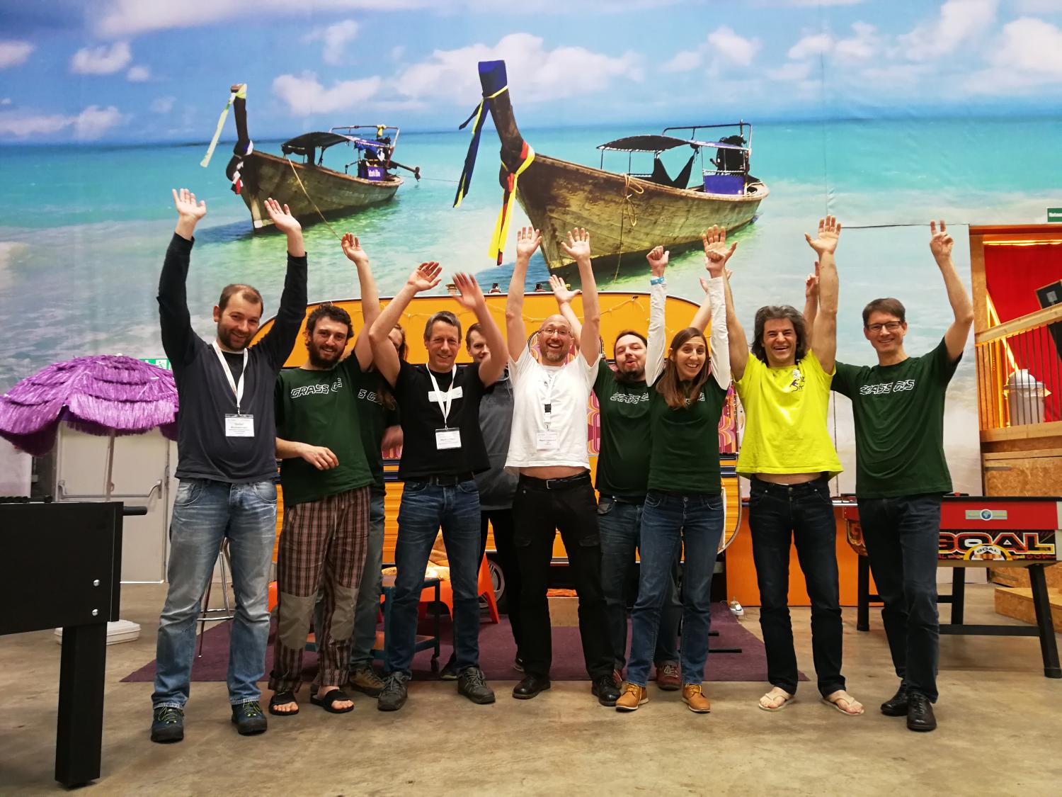
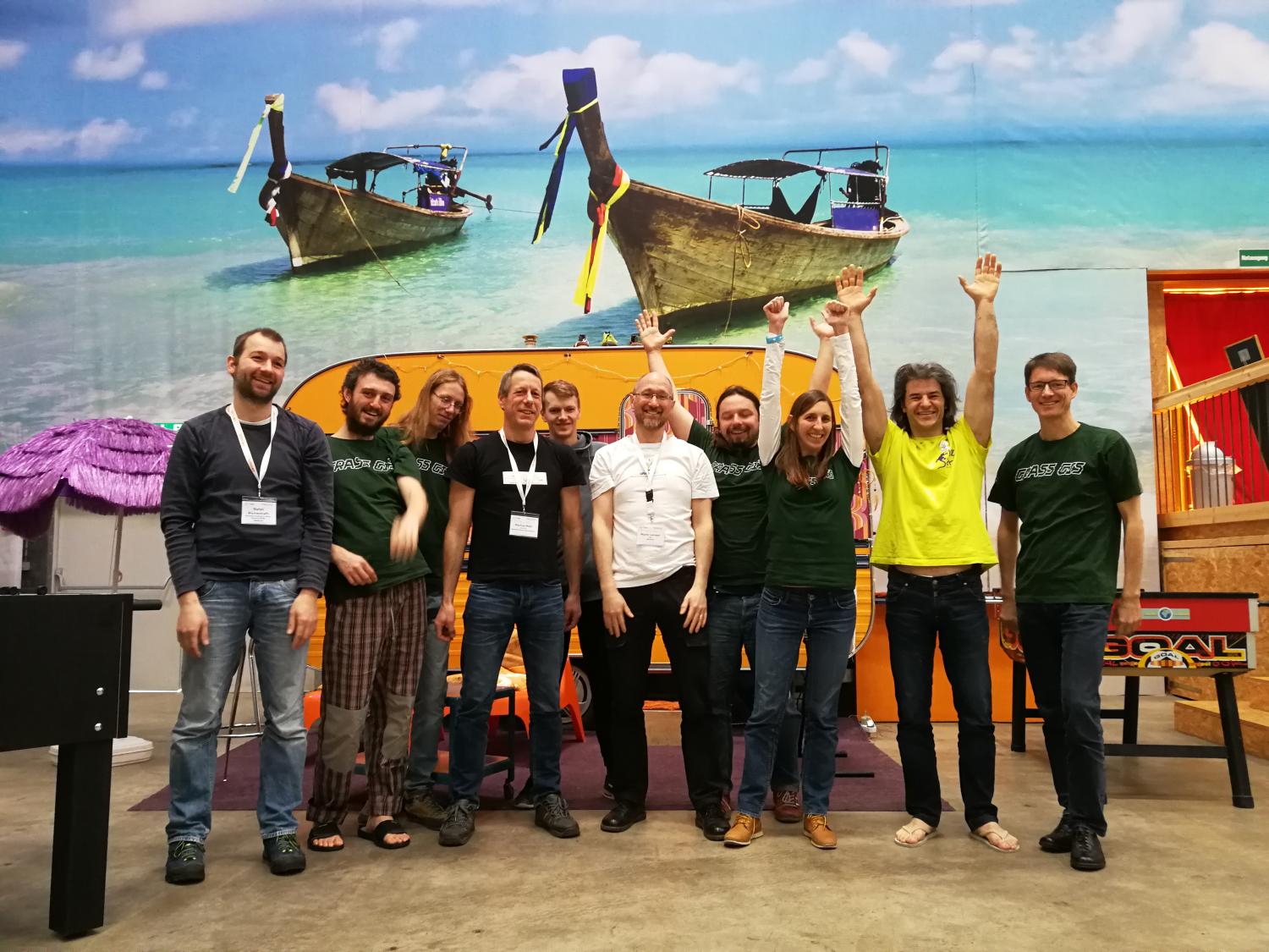
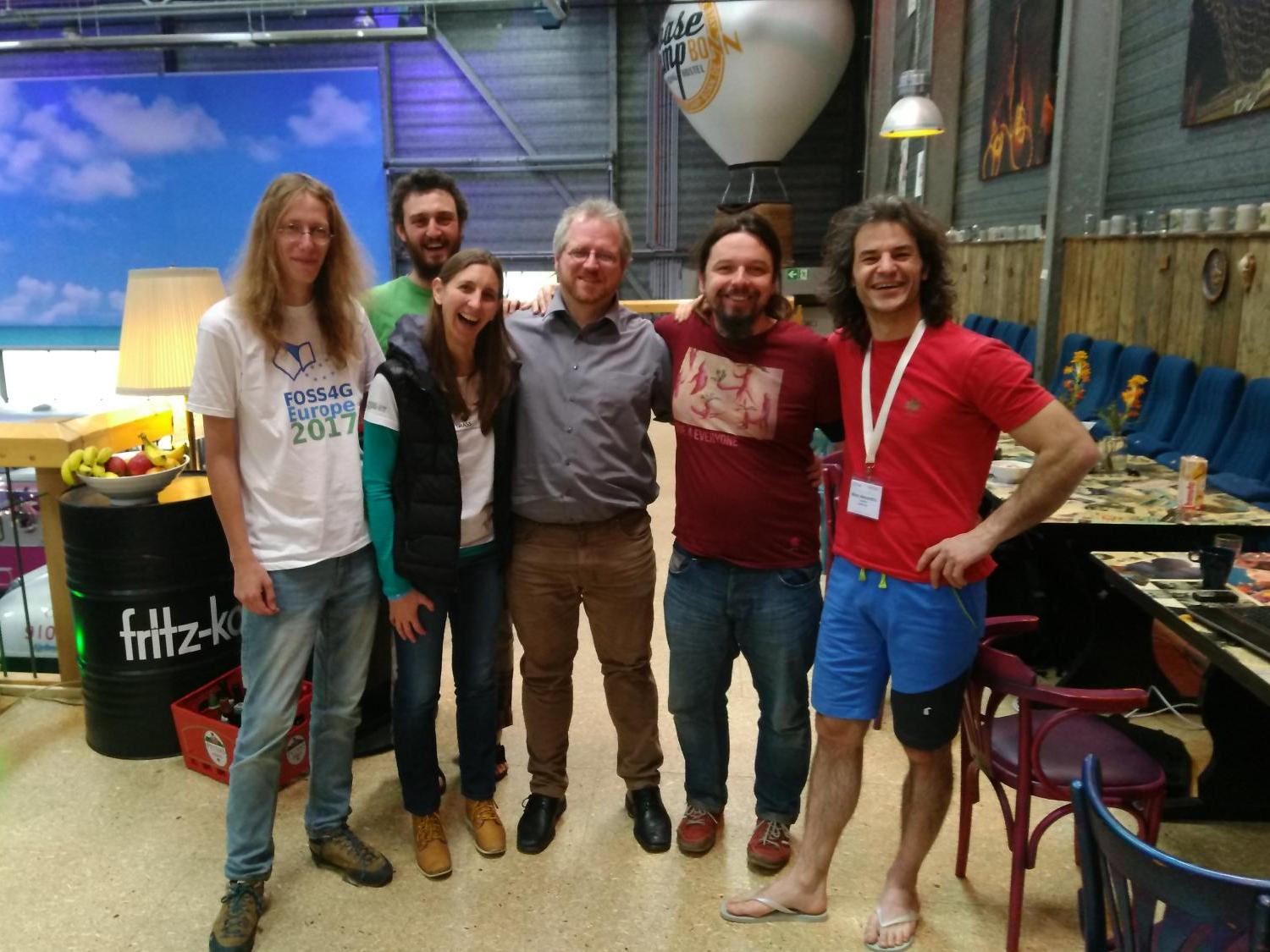
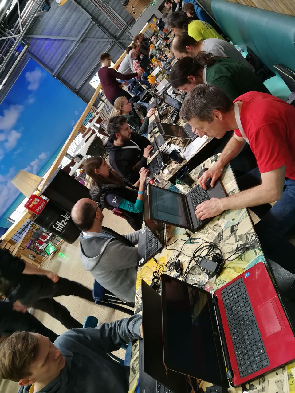
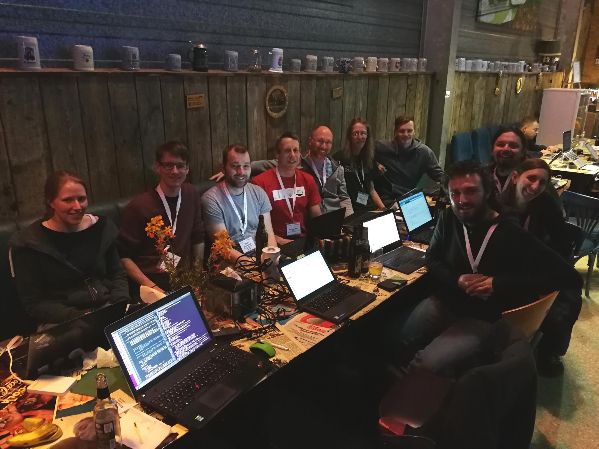
Photos
Reports
See Talk:GRASS_Community_Sprint_Bonn_2018
FAQ
- Is the GRASS Community Sprint just a coding event?
- It is mainly a coding and documentation event. It is a working session for people who are already participants in the GRASS project and/or are committed to improving the GRASS project.
- On demand we can do some presentations of current working GRASS implementation and new upcoming features to spread the idea of Open Source GIS software
- Is the GRASS Community Sprint for developers only?
- No: anybody can help, with testing, checking out bugs and fixes, documentation and more.
- Where can I get help and more information about the community sprint?
- Contact Luca Delucchi <lucadeluge at gmail com>
