WxGUI Graphical Modeler: Difference between revisions
mNo edit summary |
|||
| Line 49: | Line 49: | ||
{{YouTube|b1QOBlT-oXE|desc=Creating model with series (loop) - dynamic list of maps}} | {{YouTube|b1QOBlT-oXE|desc=Creating model with series (loop) - dynamic list of maps}} | ||
{{YouTube|DTMmmcVpJKk|desc=Creating model which exports all GRASS vector maps from given mapset to PostGIS database}} | {{YouTube|DTMmmcVpJKk|desc=Creating model which exports all GRASS vector maps from given mapset to PostGIS database}} | ||
{{YouTube|uStN3F6ZZoc|desc=Creating model which exports all GRASS vector maps from given mapset to PostGIS database (including schema)}} | |||
== External links == | == External links == | ||
Revision as of 23:36, 29 October 2011
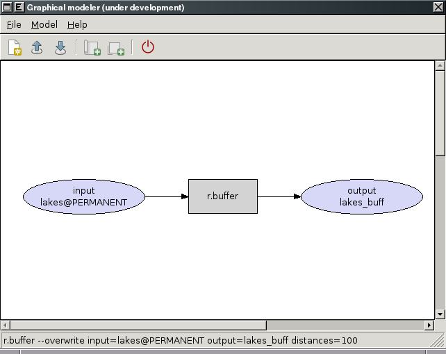
Graphical modeler is a wxGUI extension which allows the user to create, edit, and manage models. It's available from the menu
File -> Graphical modeler
Graphical modeler comes with GRASS 6.4.2+.
Note: the tool is currently under development and distributed as experimental prototype. See also wiki page for developers.
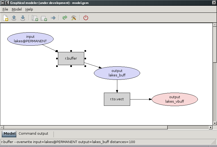
The modeler currently allows to:
- define actions (GRASS commands)
- define data items (raster, vector, 3D raster)
- define relations between data and action items
- define loops (series), conditions
- validate model
- run model
- store model settings to the file (GRASS Model File|*.gxm)
- export model settings to Python script
- export model to image
See also manual page.
Gallery
-
Experimental prototype of Graphical Modeler
-
Experimental prototype of Graphical Modeler
-
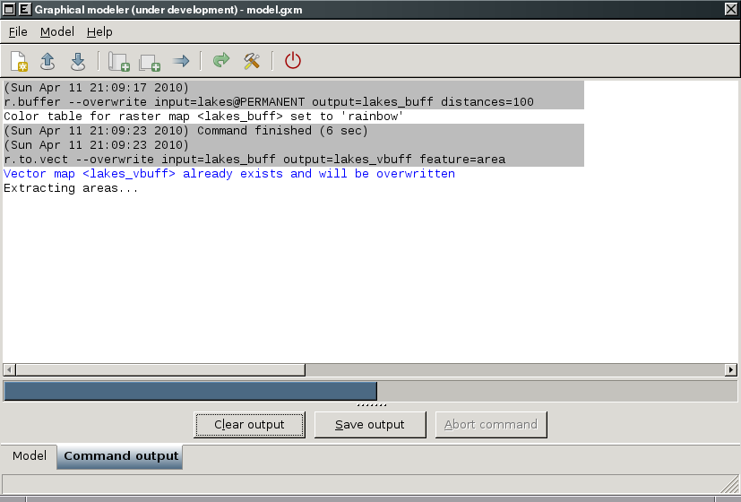
Experimental prototype of Graphical Modeler
-
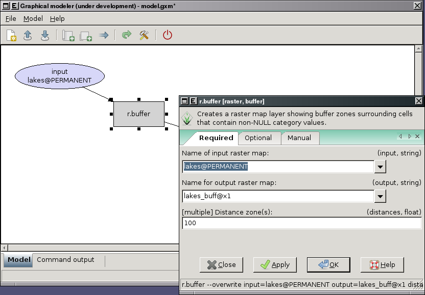
Experimental prototype of Graphical Modeler
-
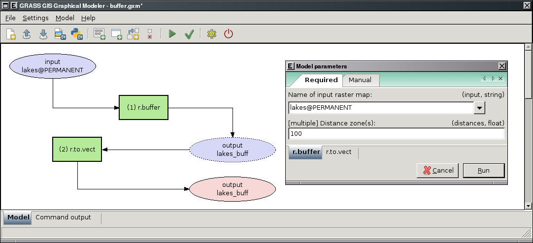
Graphical Modeler: run parametrized model
-
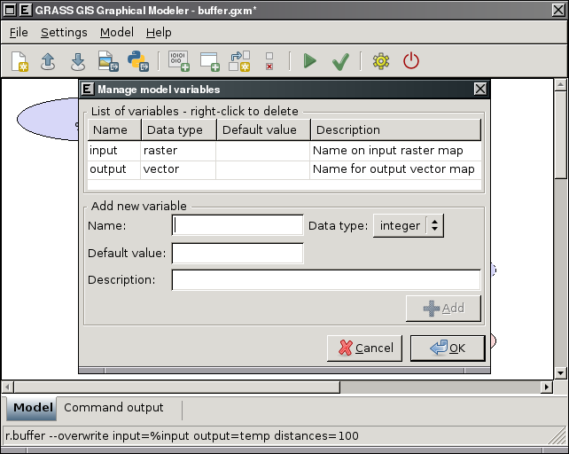
Graphical Modeler: define model variables
-
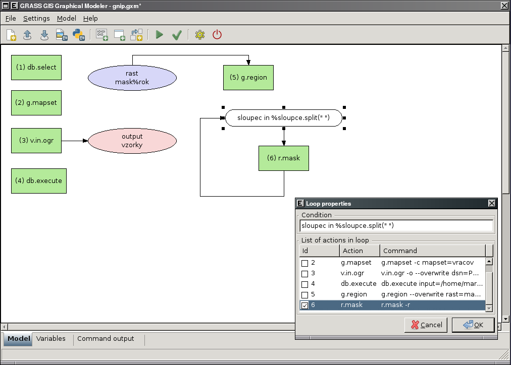
Graphical Modeler: define loops in the model
-
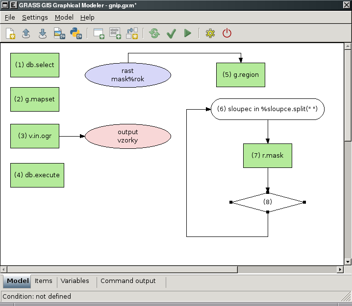
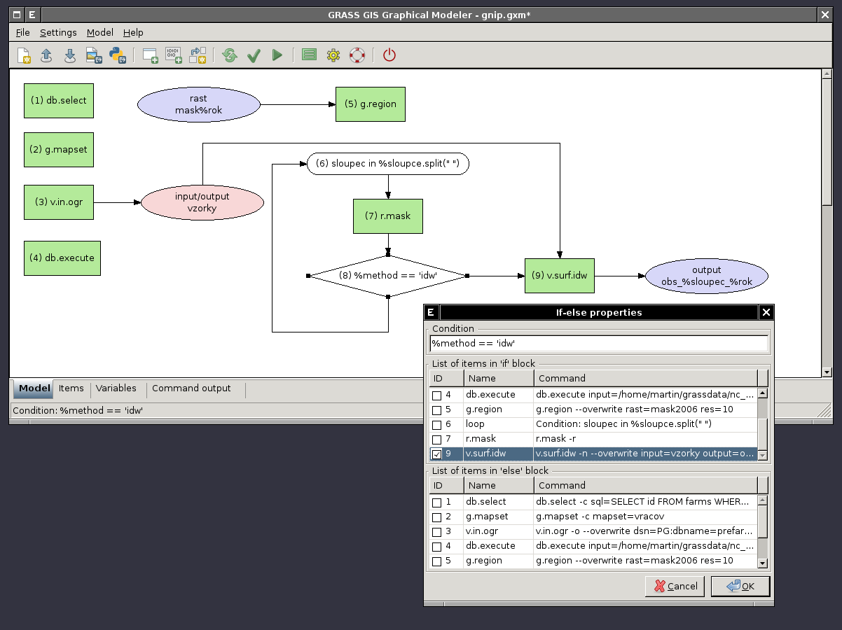
Graphical Modeler: define if/else statements in the model
-
Graphical Modeler: define if/else statements in the model - show properties
