WxGUI/Video tutorials: Difference between revisions
< WxGUI
m (→Georectifier) |
|||
| Line 53: | Line 53: | ||
== Graphical modeler == | == Graphical modeler == | ||
* See wxGUI [[WxGUI | * See wxGUI [[WxGUI Graphical Modeler#Video tutorials|Graphical Modeler]] page. | ||
== Layer Manager: Searching GRASS module == | == Layer Manager: Searching GRASS module == | ||
Revision as of 15:58, 13 December 2012
This page contains video tutorials for wxGUI.
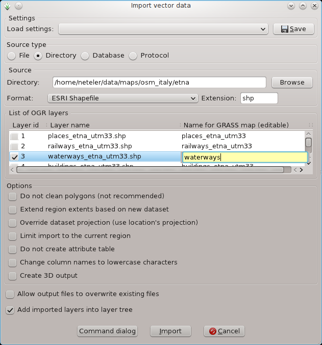
Import vector data
Importing multiple vector (e.g., SHAPE) files:
 |
 |
- Import DXF
- Import other vector formats:
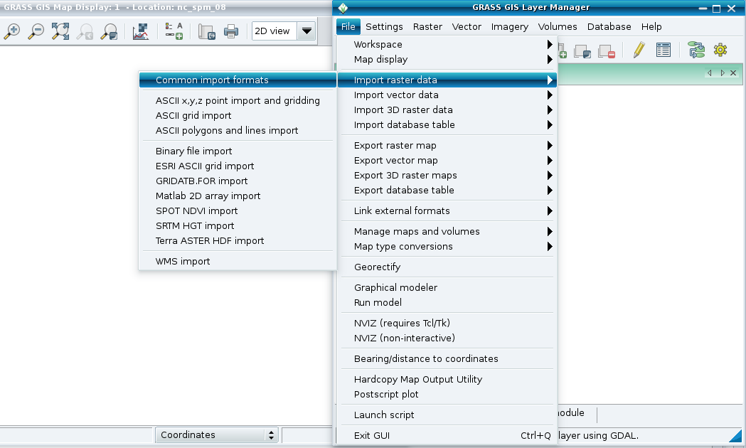
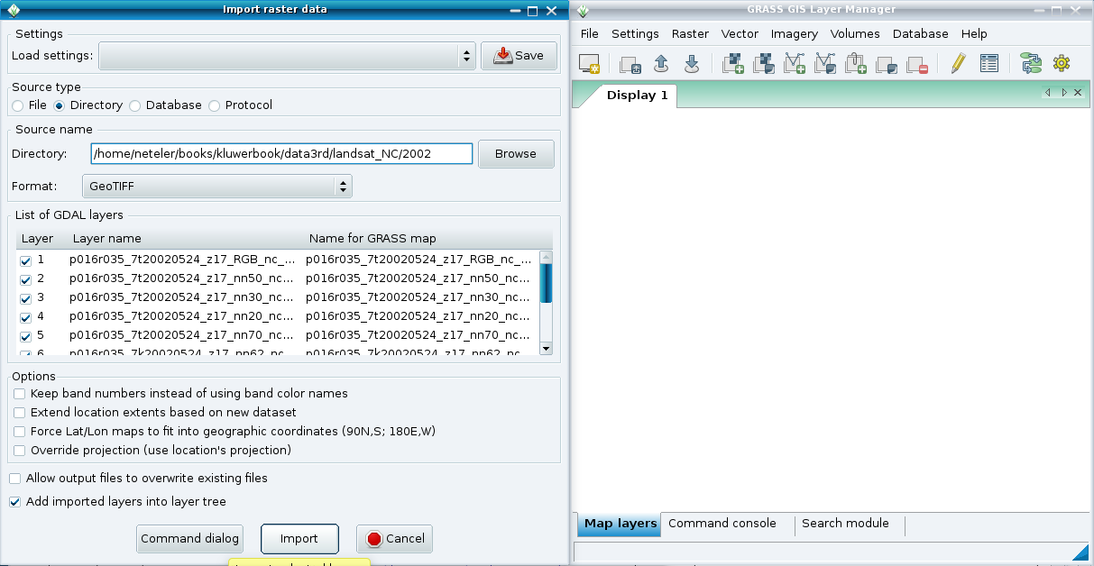
Import raster data
Importing multiple GeoTIFF files:
 |
 |
Link vector data (GRASS 7)
Map display
Georectifier
- Manual page of GCP Manager
Graphical modeler
- See wxGUI Graphical Modeler page.
Layer Manager: Searching GRASS module
Layer Manager: Commands protocol
Map Calculator
wxGUI 3D view mode (wxNviz)
See wxNviz page.