WMS

- Web_Map_Service (WMS) data can be downloaded and imported into GRASS using the r.in.wms module.
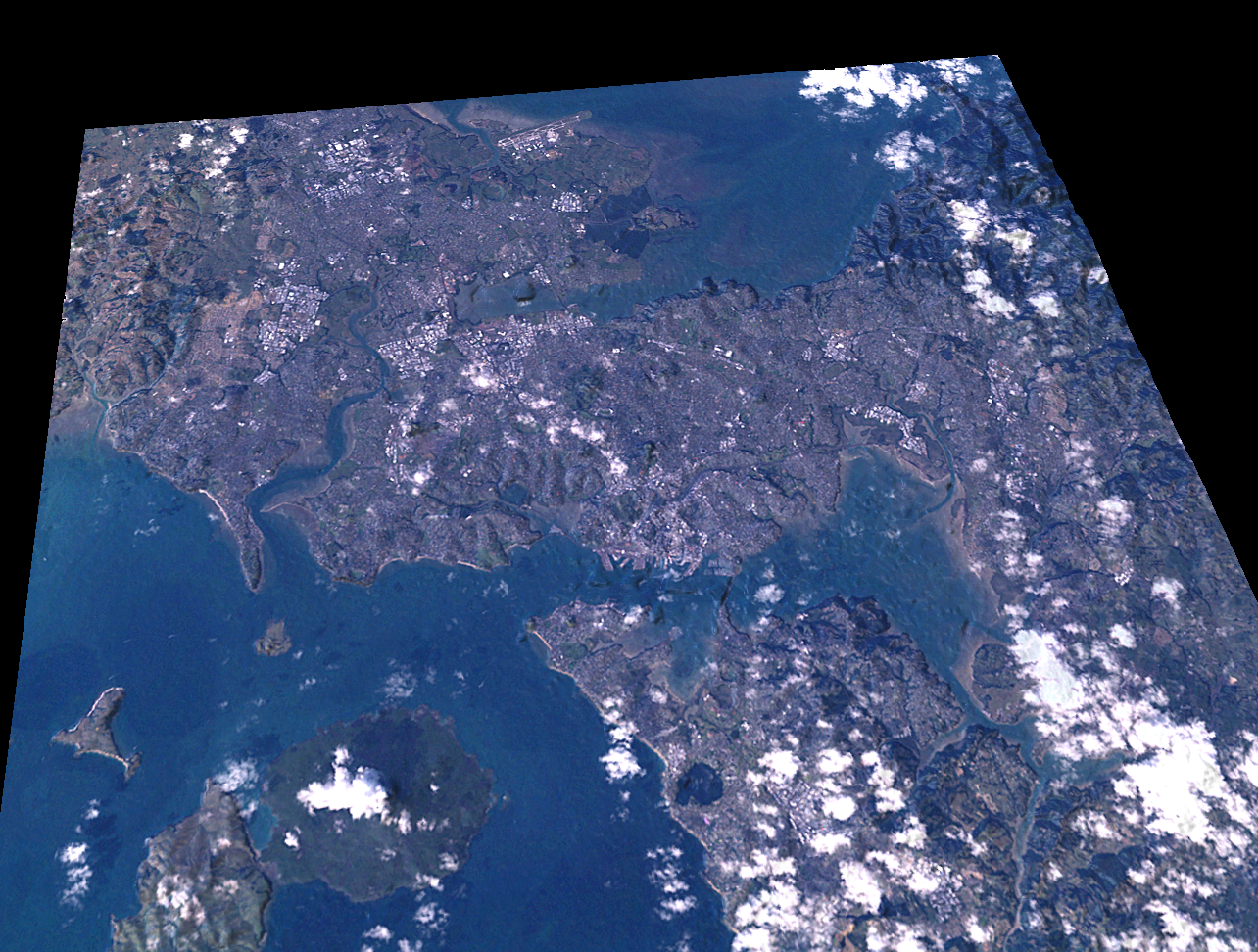
Mini tutorial for downloading SRTM elevation and LANDSAT imagery from NASA's OnEarth WMS server.
- create a NZTM location (EPSG:2193) with the startup wizard.
# Zoom to AKL region
g.region n=5936130 s=5900340 \
         w=1740030 e=1776030 res=30
If downloading for your own area, try to keep the region rows and columns smaller than the maxrow,maxcol options given to r.in.wms. Please don't abuse the server, just download small chunks.
### Download and process SRTM elevation:

r.in.wms output=akl_srtm \
  mapserver="http://onearth.jpl.nasa.gov/wms.cgi" \
  -c layers=worldwind_dem format=geotiff style=short_int \
  maxcols=1600 maxrows=1600

g.rename akl_srtm.1,akl_srtm
r.colors akl_srtm color=srtm


### Download and process LANDSAT:

r.in.wms output=akl_landsat \
  mapserver="http://onearth.jpl.nasa.gov/wms.cgi" \
  -c layers=global_mosaic_base format=geotiff style=visual \
  maxcols=1600 maxrows=1600

i.landsat.rgb -p r=akl_landsat.red g=akl_landsat.green b=akl_landsat.blue
d.rgb r=akl_landsat.red g=akl_landsat.green b=akl_landsat.blue
r.composite r=akl_landsat.red g=akl_landsat.green b=akl_landsat.blue \
   output=akl_landsat --overwrite


### Shaeded relief map
r.shaded.relief akl_strm
d.shadedmap relief=akl_strm.shade drape=akl_landsat bright=70


### 3D view
nviz akl_srtm color=akl_landsat
- In the Visualization → Raster Surface menu set the fine raster grid size to 1.