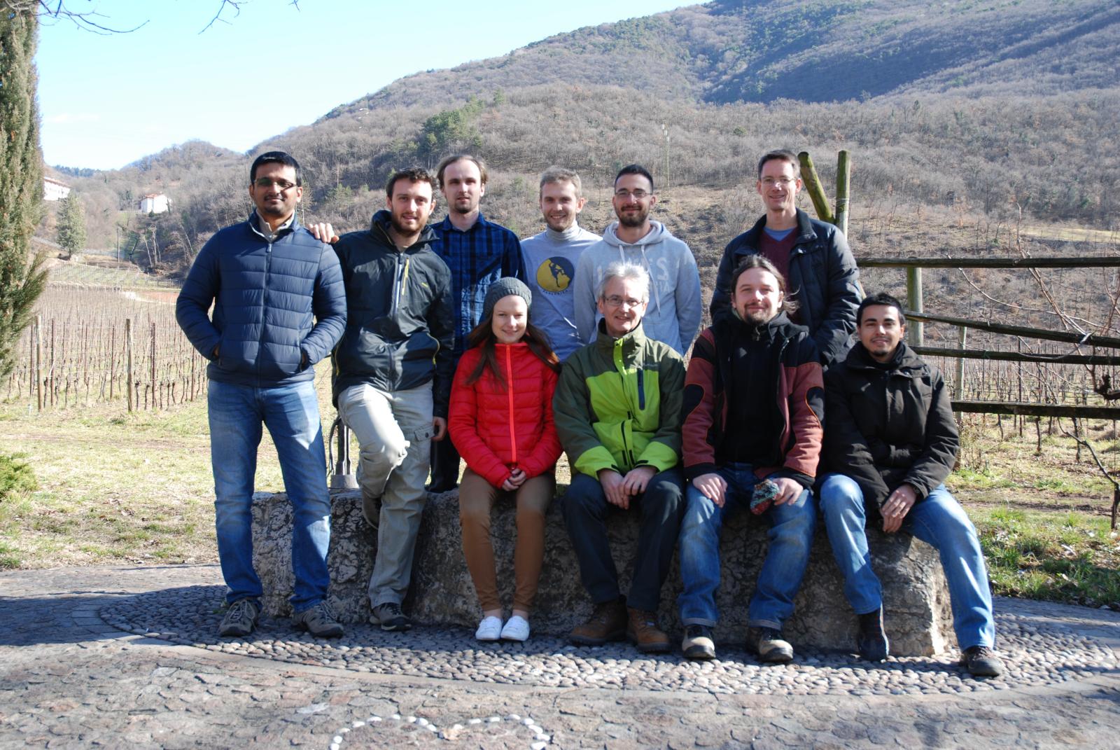
GRASS GIS contributors meetings in San Michele/February 2016
Jump to navigation
Jump to search
Date
15-20 February 2016
Agenda
Community stuff:
Time-based task:
- Wed morning - GIS.lab (Markus, Luca, Ludka, Martin, ...)
- Fri morning - OSM data -> Vector network analysis with turntable (Markus, Luca, Stepan, ...)
Raster:
- discuss and ideally activate new raster compression scheme in "trunk" (trac #2750)
- code: lib/raster/init.c, line 124
- Plan:
- Null data are by default DEFLATE compressed: hence, if GRASS_COMPRESS_NULLS=1 or not defined at all. So, if the user sets GRASS_COMPRESS_NULLS to anything else than 1, Null data will not be compressed.
- Note: Backward NULL file compression compatibility could be implemented in relbranch70 only by ZLIB's DEFLATE (see https://trac.osgeo.org/grass/ticket/2750#comment:36). Hence ZLIB may qualify for the default NULL compression algorithm.
Projections:
- issues postponed to Paris Code Sprint 2016 Agenda
Core:
- Kickstart of GRASS with LatLong predefined, open import wizard | switch projection
QA:
- integrate "coverity scan" with Travis, https://scan.coverity.com/travis_ci
- check "coverity scan": copy-paste errors, https://scan.coverity.com/projects/1038
winGRASS:
- install https://icl.cs.utk.edu/lapack-for-windows/ or https://www.scipy.org/scipylib/building/windows.html#blas-lapack-and-atlas
Web CMS:
- discuss CMS migration to Wordpress
OSM data -> Vector network analysis with turntable
- Add turntable support for OSM data
- discuss: How the whole solution should look like?
Addons:
- Update include/Make to reflect Addons with libs
Participants and reports
- Martin Landa
- Ludmila
- Matej
Luca
- closed tickets trac #2261 trac #2319 trac #2912
- started to work on trac #2294.... continue in Paris
Markus
- Developed https://grasswiki.osgeo.org/wiki/Community_Sprint_Funding along with Martin and Luca
- checked trac #2916 - Arch configure issue
Martin
- Various Graphical Modeler improvements (collaboration with Ludmila) - trac #2782, trac #2904
- Vagrant improvements
- Various wxGUI improvements and fixes
- Element name issue (3d-raster to raster_3d)
- wxGUI data catalog fixes and improvements (copy, rename, delete maps)
- Fix wxGUI addons handling (when addons contains more commands)
- Fix g.extension compilation of r.green addons
- winGRASS: switch to GDAL 2.0
- Logs overview
Matej
- Started with the package for handling The Spatial Framework for Hadoop with using GRASS
- Fixing configuration of hadoop-spatial-framework-docker
Stepan
- worked on modification of db library to allow proper work with 64bit integers (not yet commited needs discussion)
- created init version of v.in.osm module r67912 by turek
- created draft (not yet commited) of v.db.category module to build category crosstable between two layers
- worked on worflow OSM data -> GRASS -> v.net.* analyses with turntable
