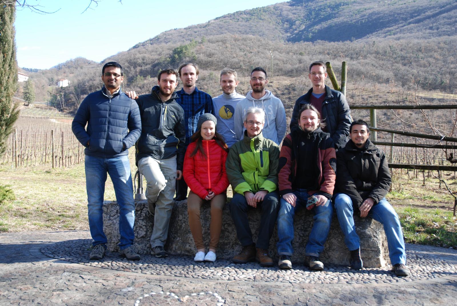
GRASS GIS contributors meetings in San Michele/February 2016
Jump to navigation
Jump to search
Date
15-20 February 2016
Agenda
Community stuff:
Time-based task:
- Wed morning - GIS.lab (Markus, Luca, Ludka, Martin, ...)
- Fri morning - OSM data -> Vector network analysis with turntable (Markus, Luca, Stepan, ...)
Raster:
- discuss and ideally activate new raster compression scheme in "trunk" (trac #2750)
- code: lib/raster/init.c, line 124
- Plan:
- Idea: Null data be DEFLATE compressed by default: hence, if GRASS_COMPRESS_NULLS=1 or not defined at all. So, if the user sets GRASS_COMPRESS_NULLS to anything else than 1, Null data will not be compressed.
- Note: Backward NULL file compression compatibility could be implemented in relbranch70 only by ZLIB's DEFLATE (see https://trac.osgeo.org/grass/ticket/2750#comment:36). Hence ZLIB may qualify for the default NULL compression algorithm.
Projections:
- issues postponed to Paris Code Sprint 2016 Agenda
Core:
- Kickstart of GRASS with LatLong predefined, open import wizard | switch projection
QA:
- integrate "coverity scan" with Travis, https://scan.coverity.com/travis_ci
- check "coverity scan": copy-paste errors, https://scan.coverity.com/projects/1038
winGRASS:
- install https://icl.cs.utk.edu/lapack-for-windows/ or https://www.scipy.org/scipylib/building/windows.html#blas-lapack-and-atlas
Web CMS:
- discuss CMS migration to Wordpress
OSM data -> Vector network analysis with turntable
- Add turntable support for OSM data
- discuss: How the whole solution should look like?
Addons:
- Update include/Make to reflect Addons with libs
Participants and reports
Luca
- closed tickets trac #2261 trac #2319 trac #2912
- started to work on trac #2294.... continue in Paris
Markus
- Developed https://grasswiki.osgeo.org/wiki/Community_Sprint_Funding along with Martin and Luca
- checked trac #2916 - Arch configure issue
- Developed budget overviews such as GRASS GIS Budget 2014, GRASS GIS Budget 2015, GRASS GIS Budget 2016
Martin
- Various Graphical Modeler improvements (collaboration with Ludmila) - trac #2782, trac #2904
- Vagrant improvements
- Various wxGUI improvements and fixes
- Element name issue (3d-raster to raster_3d)
- wxGUI data catalog fixes and improvements (copy, rename, delete maps)
- Fix wxGUI addons handling (when addons contains more commands)
- Fix g.extension compilation of r.green addons
- winGRASS: switch to GDAL 2.0
- Logs overview
Matej
- Started with the package for handling The Spatial Framework for Hadoop with using GRASS
- Fixing configuration of hadoop-spatial-framework-docker
Ludmila
- WxGUI Graphical Modeler GRASS GIS user manual page improvements related to model properties settings, metadata settings, variable variables usage, particular model performation, etc. and also working on better figure resolution to have clickable images (created draft, will be published in next few days)
- using wxGUI Graphical Modeler to create model to perform average statistics for zipcode zones using North Carolina sample dataset in order to enable this model to GRASS users to get hands-on experience in wxGUI Graphical Modeler according to manual
- installation of GIS.lab unit machine in FEM; process from basic operating system installation, GIS.lab unit initialization, GIS.lab installation to sample illustration and intro to physical client customization
- wxGUI Graphical Modeler bug hunting and multilateral cooperation with Martin Landa
Stepan
- worked on modification of db library to allow proper work with 64bit integers (not yet commited needs discussion)
- created init version of v.in.osm module r67912 by turek
- created draft (not yet commited) of v.db.category module to build category crosstable between two layers
- worked on worflow OSM data -> GRASS -> v.net.* analyses with turntable
