File:Graphical Modeler with r.in.lidar and terrain analysis.png: Difference between revisions
Jump to navigation
Jump to search
⚠️Wenzeslaus (talk | contribs) (r.in.lidar followed by r.slope.aspect, r.param.scale, r.relief with r.shade in GRASS GIS Graphical Modeler with the main GUI in the background) |
(No difference)
|
Latest revision as of 17:35, 19 July 2017
r.in.lidar followed by r.slope.aspect, r.param.scale, r.relief with r.shade in GRASS GIS Graphical Modeler with the main GUI in the background
File history
Click on a date/time to view the file as it appeared at that time.
| Date/Time | Thumbnail | Dimensions | User | Comment | |
|---|---|---|---|---|---|
| current | 17:35, 19 July 2017 | 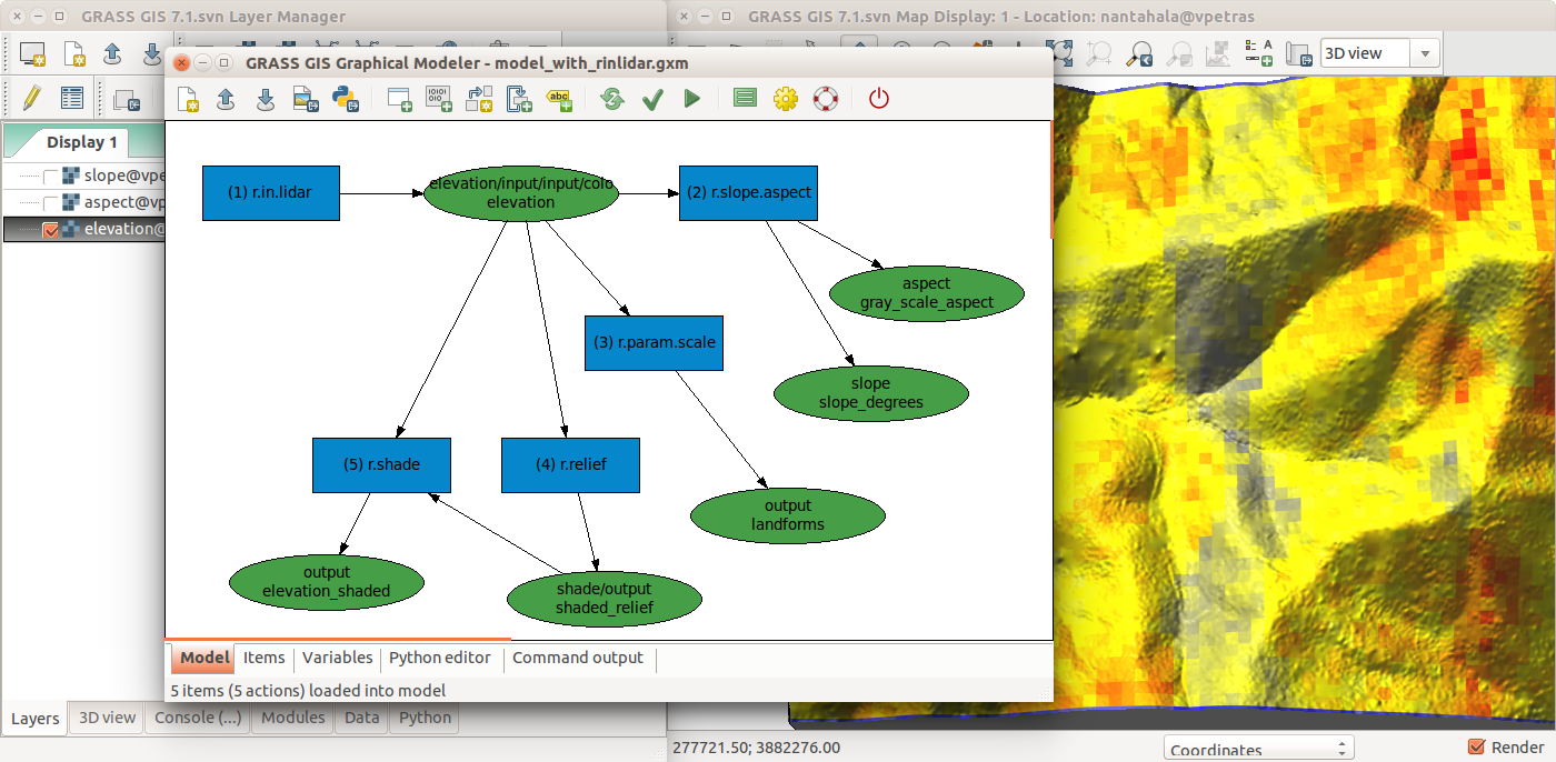 | 1,400 × 686 (457 KB) | ⚠️Wenzeslaus (talk | contribs) | r.in.lidar followed by r.slope.aspect, r.param.scale, r.relief with r.shade in GRASS GIS Graphical Modeler with the main GUI in the background |
You cannot overwrite this file.
File usage
The following 2 pages use this file: