File:Nviz cutting plane dem dsm.png: Difference between revisions
Jump to navigation
Jump to search
⚠️Wenzeslaus (talk | contribs) (GRASS GIS 7.2, 3D view in wxGUI, Map Display, cutting plane for DEM (terrain, orange color) and DSM (trees, buildings, green color) surfaces.) |
(No difference)
|
Latest revision as of 03:03, 6 August 2017
GRASS GIS 7.2, 3D view in wxGUI, Map Display, cutting plane for DEM (terrain, orange color) and DSM (trees, buildings, green color) surfaces.
File history
Click on a date/time to view the file as it appeared at that time.
| Date/Time | Thumbnail | Dimensions | User | Comment | |
|---|---|---|---|---|---|
| current | 03:03, 6 August 2017 | 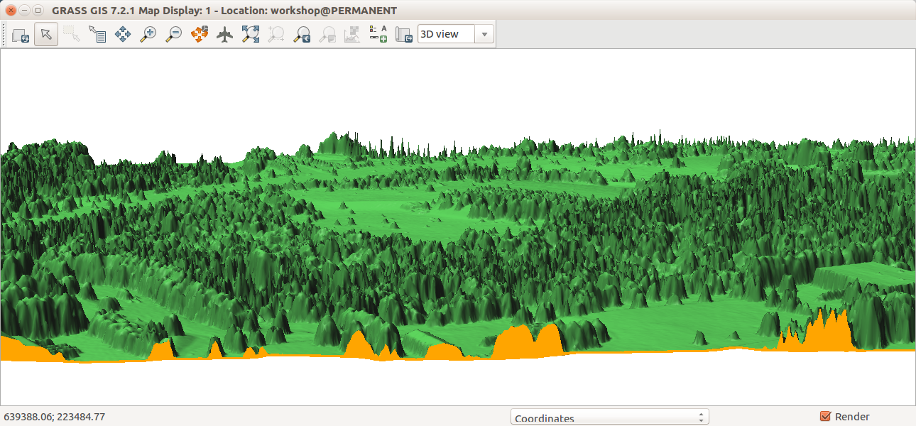 | 1,290 × 600 (553 KB) | ⚠️Wenzeslaus (talk | contribs) | GRASS GIS 7.2, 3D view in wxGUI, Map Display, cutting plane for DEM (terrain, orange color) and DSM (trees, buildings, green color) surfaces. |
You cannot overwrite this file.
File usage
The following 2 pages use this file: