US-IALE 2016 Annual Meeting: GRASS related workshops and presentations
Jump to navigation
Jump to search
Introduction
US-IALE 2016 Annual Meeting, Asheville, NC, USA, April 3-7, 2016, http://asheville2016.usiale.org/
Workshops

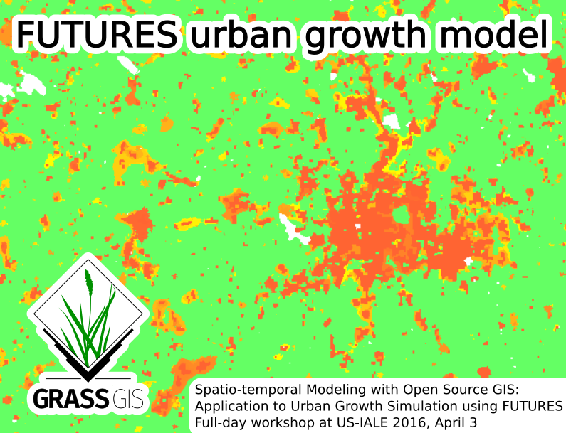
- Anna Petrasova, Vaclav Petras, Derek Van Berkel, Monica Dorning, Brian Pickard, Ross Meentemeyer, Helena Mitasova (2016): Spatio-temporal Modeling with Open Source GIS: Application to Urban Growth Simulation using FUTURES, US-IALE 2016 Annual Meeting, April 3, 2016, Asheville, NC, USA, Full-day workshop
- Workshop material: Workshop on urban growth modeling with FUTURES
- Abstract: Spatial patterns of land use change due to urbanization and its impact on the landscape is the subject of ongoing research. Urban growth scenario simulation is a powerful tool for exploring these impacts and empowering planners to make informed decisions. In this workshop, we will introduce FUTURES (FUTure Urban - Regional Environment Simulation) - a patch-based, stochastic, multi-level land change modeling framework implemented in GRASS GIS 7. FUTURES is a fully open source land change modeling framework that accommodates multilevel drivers of land change across a heterogenous region. Participants will learn the concepts, input data and general workflow of the model and get the chance to simulate emerging landscape spatial structure in urbanizing regions of North Carolina. We will start with hands-on exercises in GRASS GIS, a free and open source scientific platform for geoprocessing. We will cover spatial processing and analyses of urban growth predictors such as landscape topography, hydrography, cost and proximity, followed by introduction to spatio-temporal data handling and visualization. We will also demonstrate how GRASS GIS, Python and R interfaces can be leveraged for developing workflows, including tips and tricks for parallelization when working with ‘big data’. Participants will then run urban simulations using FUTURES with different possible population and spatial planning scenarios. This workshop is a great introduction to GRASS GIS including the unique tools available in GRASS GIS Addons repository.
- Intended Audience: Students, researchers, planners or policy-makers with interest in land change or in learning geoprocessing with GRASS GIS (no prior experience with GRASS GIS required).
- Related modules: r.futures, r.futures.pga, ...
Presentations

- Vaclav Petras, Douglas J. Newcomb, Helena Mitasova (2016): Efficient processing of dense point clouds in GRASS GIS, Session LiDAR Techniques for Advancing Applications in Landscape Ecology, US-IALE 2016 Annual Meeting, April 3-7, 2016, Asheville, NC, USA
- Slides: http://wenzeslaus.github.io/grass-lidar-talks/
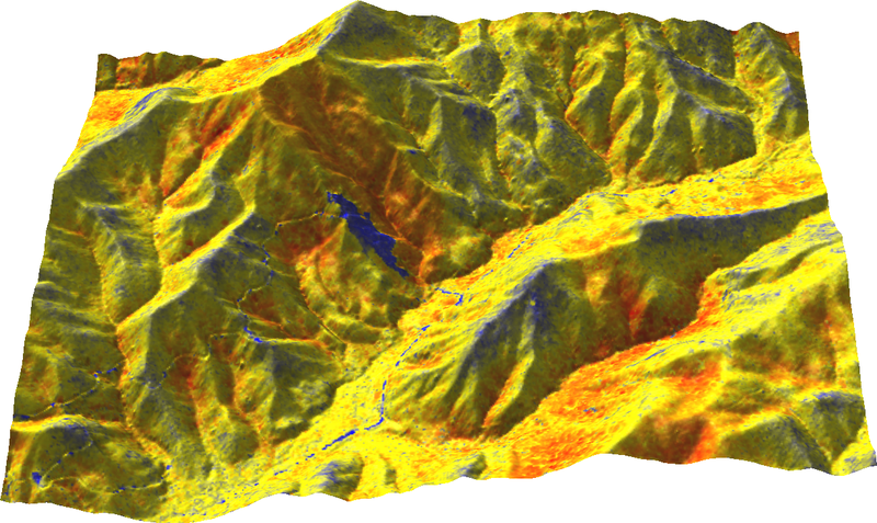
- Abstract: GRASS GIS offers a plethora of analysis for terrain and remote sensing processing. In this talk we will present new tools in GRASS GIS for processing dense point clouds obtained by LiDAR surveys or through structure from motion (SfM) processing of UAV imagery. With quality and efficiency in mind, we will look in detail at techniques for deriving raster topographic products ranging from micro-topography to the regional scale. We will apply GRASS GIS 2D and 3D raster capabilities to multiple return LiDAR data to derive vegetation height and density maps. We will also explore tools in GRASS GIS for terrain visualization and analysis such as sky-view factor and local relief model, which can help us to detect subtle terrain features and evaluate the quality of generated surfaces. Finally, we will see how GRASS GIS can work together with PDAL, a new and powerful point cloud processing package.
- Related modules: v.in.lidar, r.in.lidar, v.surf.rst, ...
- Douglas J. Newcomb (2016): Landscape level analysis of QL2 LiDAR data by species for avian nesting habitat in eastern North Carolina, Session LiDAR Techniques for Advancing Applications in Landscape Ecology, US-IALE 2016 Annual Meeting, April 3-7, 2016, Asheville, NC, USA
- Abstract: Avian habitat preferences are strongly associated with vegetation type and structure. The collection of of USGS QL2 standard (0.7 m posting distance) LiDAR data for all of Eastern North Carolina offers the opportunity to empirically analyze forest structure metrics such as for a large contiguous landscape at a variety of resolutions for relationships with species specific habitat preferences. LiDAR point LAS tiles for more than 30 counties in Eastern North Carolina (4-10 billion points per county) were analyzed by binning at cell sizes of 60 ft (18.288 m) and 20 ft (6.096 m) for Z range (canopy height) of LiDAR Z values, variance of LiDAR Z values, skewness of LiDAR Z values, horizontal slicing, and canopy closure using GRASS GIS version 7.1. The raster data sets were then compared to avian nest locations buffered to 82.021 ft (25 m) for avian species of interest with varied habitat requirements in Eastern North Carolina including Red-cockaded woodpecker (Picoides Borealis).
- Related modules: r.in.lidar